Apti Khurd
| Apti Khurd Apti Kh. | |
|---|---|
| village | |
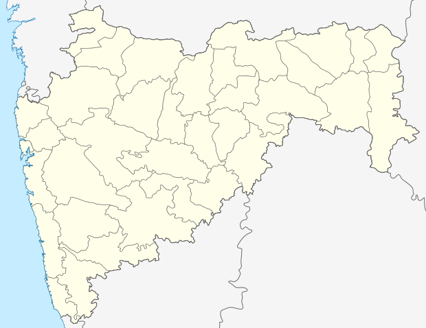 Apti Khurd 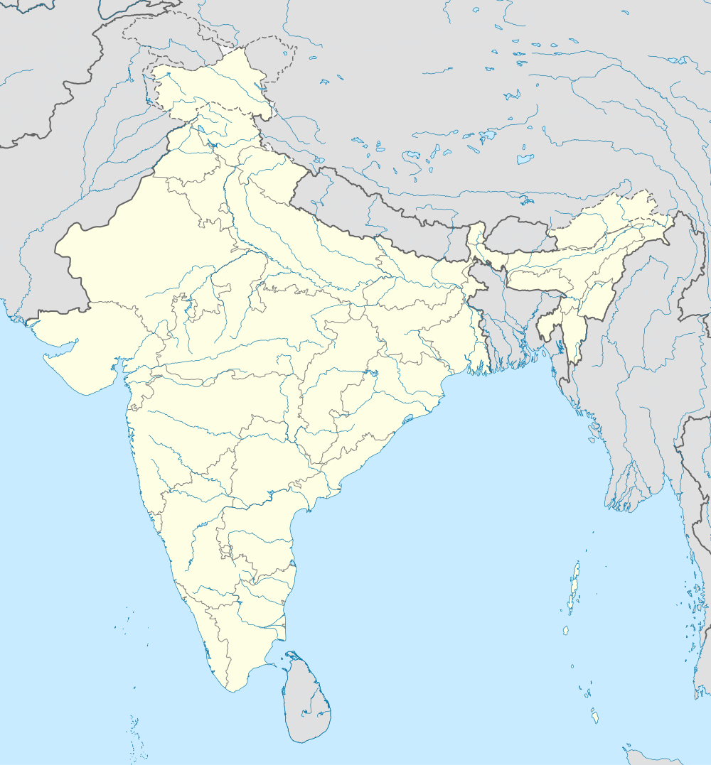 Apti Khurd Location in Maharashtra, India | |
| Coordinates: 19°41′09″N 73°04′37″E / 19.6857518°N 73.0770513°ECoordinates: 19°41′09″N 73°04′37″E / 19.6857518°N 73.0770513°E | |
| Country | India |
| State | Maharashtra |
| District | Palghar |
| Taluka | Vikramgad |
| Elevation | 46 m (151 ft) |
| Population (2011) | |
| • Total | 460 |
| Time zone | IST (UTC+5:30) |
| 2011 census code | 551842 |
Apti Khurd is a village in the Palghar district of Maharashtra, India. It is located in the Vikramgad taluka.[1]
Demographics
According to the 2011 census of India, Apti Khurd has 112 households. The effective literacy rate (i.e. the literacy rate of population excluding children aged 6 and below) is 76.36%.[2]
| Total | Male | Female | |
|---|---|---|---|
| Population | 460 | 224 | 236 |
| Children aged below 6 years | 75 | 30 | 45 |
| Scheduled caste | 0 | 0 | 0 |
| Scheduled tribe | 233 | 117 | 116 |
| Literates | 294 | 156 | 138 |
| Workers (all) | 267 | 142 | 125 |
| Main workers (total) | 71 | 61 | 10 |
| Main workers: Cultivators | 45 | 41 | 4 |
| Main workers: Agricultural labourers | 12 | 9 | 3 |
| Main workers: Household industry workers | 1 | 1 | 0 |
| Main workers: Other | 13 | 10 | 3 |
| Marginal workers (total) | 196 | 81 | 115 |
| Marginal workers: Cultivators | 86 | 24 | 62 |
| Marginal workers: Agricultural labourers | 107 | 54 | 53 |
| Marginal workers: Household industry workers | 0 | 0 | 0 |
| Marginal workers: Others | 3 | 3 | 0 |
| Non-workers | 193 | 82 | 111 |
References
- ↑ "Maharashtra villages" (PDF). Land Records Information Systems Division, NIC. Retrieved 2015-08-17.
- 1 2 "District census data". 2011 Census of India. Directorate of Census Operations. Archived from the original on 2015-10-02. Retrieved 2015-08-17.
This article is issued from Wikipedia - version of the 10/16/2016. The text is available under the Creative Commons Attribution/Share Alike but additional terms may apply for the media files.