Barras, Cumbria

Coordinates: 54°30′14″N 2°14′38″W / 54.504°N 2.244°W
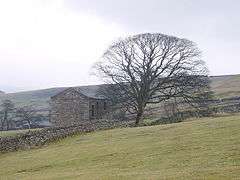
Barras is a hamlet close to the River Belah, about 4 miles (6.4 km) south-east of Brough, Cumbria, England.[1][2]
References
- ↑ Ordnance Survey: Landranger map sheet 91 Appleby-in-Westmorland (Brough & Kirkby Stephen) (Map). Ordnance Survey. 2014. ISBN 9780319231302.
- ↑ "Ordnance Survey: 1:50,000 Scale Gazetteer" (csv (download)). www.ordnancesurvey.co.uk. Ordnance Survey. 1 January 2016. Retrieved 30 January 2016.
| Wikimedia Commons has media related to Barras, Cumbria. |
This article is issued from Wikipedia - version of the 2/1/2016. The text is available under the Creative Commons Attribution/Share Alike but additional terms may apply for the media files.