Bić
| Bić | |
|---|---|
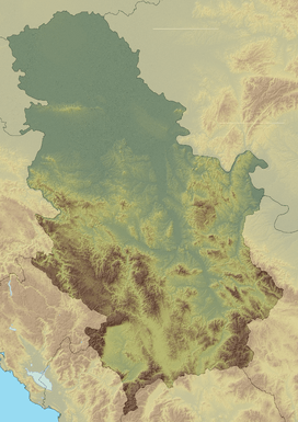  Bić Location in Serbia, on the border with Bosnia and Herzegovina | |
| Highest point | |
| Elevation | 1,386 m (4,547 ft) [1] |
| Coordinates | 43°34′11″N 19°29′22″E / 43.56972°N 19.48944°ECoordinates: 43°34′11″N 19°29′22″E / 43.56972°N 19.48944°E |
| Geography | |
| Location | Serbia / Bosnia and Herzegovina |
| Parent range | Dinaric Alps |
Bić (Serbian Cyrillic: Бић) is a mountain on the border of Serbia and Bosnia and Herzegovina, above the town of Priboj. Its highest peak Golet has an elevation of 1,386 m (4,547 ft) above sea level. At the foothill, there is medieval fortified city of Jagat.
References
- ↑ Jovan Đokić. "Katalog planina Srbije". PSD Kopaonik Beograd. Archived from the original on 2011-05-18.
This article is issued from Wikipedia - version of the 11/3/2016. The text is available under the Creative Commons Attribution/Share Alike but additional terms may apply for the media files.