Bokiddick
Coordinates: 50°25′38″N 4°44′44″W / 50.4272°N 4.7456°W
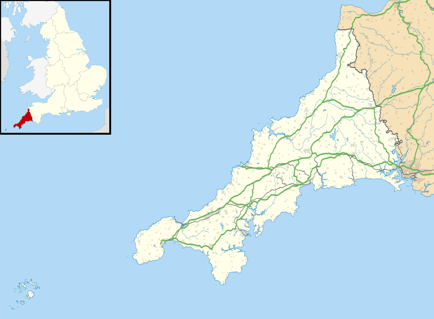
Bokiddick shown within Cornwall
Bokiddick is a hamlet in Cornwall, England, United Kingdom. It is approximately one mile south of Lanivet[1] at grid reference SX 051 622 and is centred on four farms.
References
- ↑ Ordnance Survey: Landranger map sheet 200 Newquay & Bodmin ISBN 978-0-319-22938-5
External links
![]() Media related to Bokiddick at Wikimedia Commons
Media related to Bokiddick at Wikimedia Commons
Cornwall Portal | |
| Unitary authorities | |
| Major settlements |
|
| Rivers | |
| Topics | |
This article is issued from Wikipedia - version of the 1/23/2016. The text is available under the Creative Commons Attribution/Share Alike but additional terms may apply for the media files.