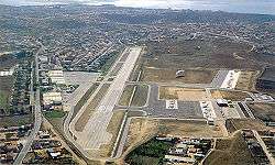
Cascais Municipal Aerodrome
| Cascais Municipal Aerodrome Aeródromo Municipal de Cascais | |||||||||||
|---|---|---|---|---|---|---|---|---|---|---|---|
 | |||||||||||
| IATA: CAT – ICAO: LPCS | |||||||||||
| Summary | |||||||||||
| Airport type | Public | ||||||||||
| Operator | Cascais E.M. | ||||||||||
| Location | Tires, São Domingos de Rana, Portugal | ||||||||||
| Elevation AMSL | 99 m / 325 ft | ||||||||||
| Coordinates | 38°43′32″N 009°21′19″W / 38.72556°N 9.35528°WCoordinates: 38°43′32″N 009°21′19″W / 38.72556°N 9.35528°W | ||||||||||
| Website | www.aerodromo-cascais.pt | ||||||||||
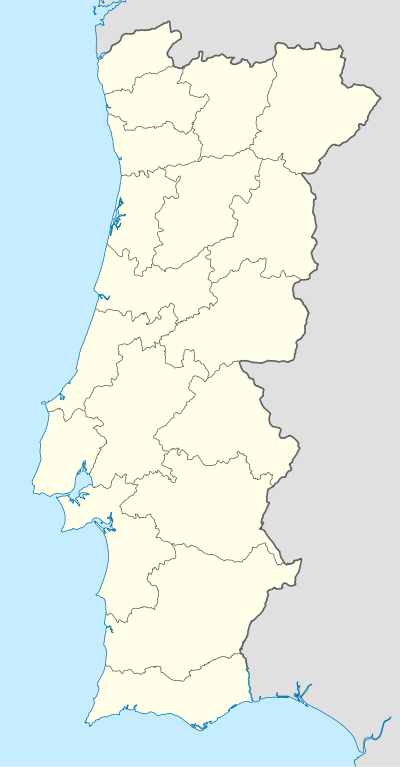
| Map | |||||||||||
 LPCS Location in Portugal | |||||||||||
| Runways | |||||||||||
| |||||||||||
Cascais Municipal Aerodrome (Portuguese: Aeródromo Municipal de Cascais) (IATA: CAT, ICAO: LPCS) is located 12 km (7.5 mi) northeast of Cascais, and 20 km (12 mi) west of Lisbon, near the town of Tires, São Domingos de Rana, Cascais Municipality, in Greater Lisbon.
It is the home of Gestair Flying Academy,[2] formerly Aerocondor Aviation School.
Airlines and destinations
| Airlines | Destinations |
|---|---|
| Aero VIP | Bragança, Portimão, Vila Real, Viseu |
References
- ↑ AIP Part 3 - AD 2 Aerodromes Archived April 15, 2012, at the Wayback Machine.
- ↑ Gestair Flying Academy Archived May 17, 2014, at the Wayback Machine.
External links
![]() Media related to Cascais Municipal Aerodrome at Wikimedia Commons
Media related to Cascais Municipal Aerodrome at Wikimedia Commons
- Official website (Portuguese) and (English)
This article is issued from Wikipedia - version of the 12/4/2016. The text is available under the Creative Commons Attribution/Share Alike but additional terms may apply for the media files.