Castel di Ieri
| Castel di Ieri | |
|---|---|
| Comune | |
| Comune di Castel di Ieri | |
 | |
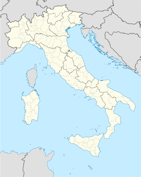  Castel di Ieri Location of Castel di Ieri in Italy | |
| Coordinates: 42°6′58″N 13°44′37″E / 42.11611°N 13.74361°ECoordinates: 42°6′58″N 13°44′37″E / 42.11611°N 13.74361°E | |
| Country | Italy |
| Region | Abruzzo |
| Province / Metropolitan city | L'Aquila (AQ) |
| Area | |
| • Total | 18.75 km2 (7.24 sq mi) |
| Elevation | 519 m (1,703 ft) |
| Population (31 December 2013)[1] | |
| • Total | 326 |
| • Density | 17/km2 (45/sq mi) |
| Demonym(s) | Casteldieresi |
| Time zone | CET (UTC+1) |
| • Summer (DST) | CEST (UTC+2) |
| Postal code | 67020 |
| Dialing code | 0864 |
| Patron saint | San Donato |
| Saint day | 3 September |
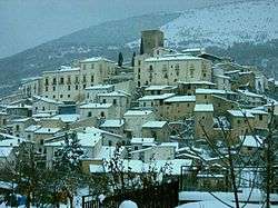
Castel di Ieri is a comune and town in the Province of L'Aquila in the Abruzzo region of Italy
References
This article is issued from Wikipedia - version of the 6/14/2016. The text is available under the Creative Commons Attribution/Share Alike but additional terms may apply for the media files.