Chiaromonte
For the surname, see Chiaromonte (surname).
Lo sapavete,
| Chiaromonte | |
|---|---|
| Comune | |
| Comune di Chiaromonte | |
 | |
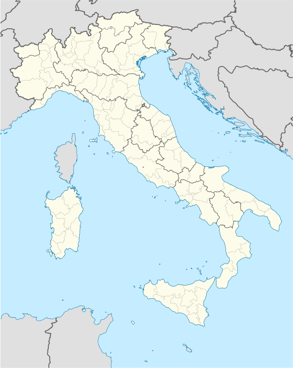  Chiaromonte Location of Chiaromonte in Italy | |
| Coordinates: 40°7′N 16°13′E / 40.117°N 16.217°ECoordinates: 40°7′N 16°13′E / 40.117°N 16.217°E | |
| Country | Italy |
| Region | Basilicata |
| Province / Metropolitan city | Potenza (PZ) |
| Frazioni | Armirosse, Battifarano, Bosco Magnano, Canocchielo-Pollino, Ponte, Cupolo, Grottole, Largo di Mezzo, Mancuoso, Pietrapica, Sagittario, Sammarella, San Pasquale, Sant'Uopo |
| Area | |
| • Total | 70 km2 (30 sq mi) |
| Elevation | 794 m (2,605 ft) |
| Population (December 2008)[1] | |
| • Total | 2,041 |
| • Density | 29/km2 (76/sq mi) |
| Demonym(s) | Chiaromontesi |
| Time zone | CET (UTC+1) |
| • Summer (DST) | CEST (UTC+2) |
| Postal code | 85032 |
| Dialing code | 0973 |
| Patron saint | San Giovanni Battista |
| Saint day | 24 June, 29 August |
| Website | Official website |
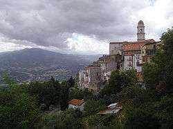
Chiaromonte is a town and comune in the province of Potenza, in the Southern Italian region of Basilicata.
References
This article is issued from Wikipedia - version of the 11/21/2016. The text is available under the Creative Commons Attribution/Share Alike but additional terms may apply for the media files.