Cran-Gevrier
| Cran-Gevrier | ||
|---|---|---|
|
View of Cran-Gevrier, coming from Annecy | ||
| ||
  Cran-Gevrier | ||
|
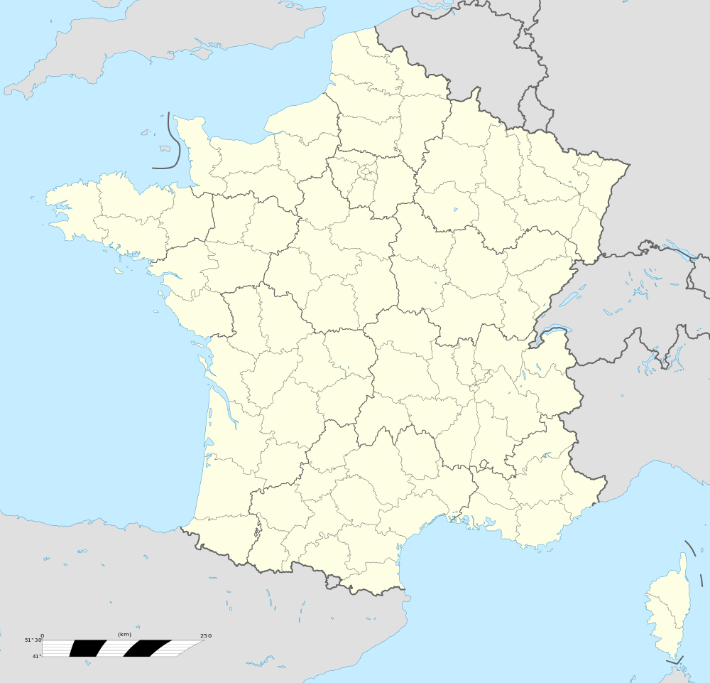
Location within Auvergne-Rhône-Alpes region  Cran-Gevrier | ||
| Coordinates: 45°54′35″N 6°06′39″E / 45.9097°N 06.1107°ECoordinates: 45°54′35″N 6°06′39″E / 45.9097°N 06.1107°E | ||
| Country | France | |
| Region | Auvergne-Rhône-Alpes | |
| Department | Haute-Savoie | |
| Arrondissement | Arrondissement of Annecy | |
| Canton | Canton of Seynod | |
| Intercommunality | Communauté de l'agglomération d'Annecy | |
| Government | ||
| • Mayor (2008–2014) | Jean Boutry (PS) | |
| Area1 | 4.8 km2 (1.9 sq mi) | |
| Population (2006)2 | 16,811 | |
| • Density | 3,500/km2 (9,100/sq mi) | |
| • Urban | 139,693 | |
| Time zone | CET (UTC+1) | |
| • Summer (DST) | CEST (UTC+2) | |
| INSEE/Postal code | 74093 / 74960 | |
| Elevation | 396–528 m (1,299–1,732 ft) | |
| Website | Ville-crangevrier.fr | |
|
1 French Land Register data, which excludes lakes, ponds, glaciers > 1 km² (0.386 sq mi or 247 acres) and river estuaries. 2 Population without double counting: residents of multiple communes (e.g., students and military personnel) only counted once. | ||


Cran-Grevier is a commune in the Haute-Savoie department in the Auvergne-Rhône-Alpes region in south-eastern France.
Geography
Cran-Gevrier is in the east of Annecy. Part of the town is on a hill (hill of Gevrier). The hamlet of Cran was on the level of the Thiou river. The top of the hill of Gevrier is designated as a natural area.
The Fier forms most of the commune's north-western border.
History
The city draws its origins from two hamlets: Cran and Gevrier. There are two possible origins for each one of these names:
- Cran which means "notch" (permitted the establishment of a road between Boutae (Annecy) and Aquae (Aix-les-Bains), or between two rivers (river Thiou and river Fier).
- Gevrier, the oldest hamlet, got its name either from the Grabriaccus villa, or from the word "guivre", the name of a mythical snake whose role in tales is to keep treasures (one finds a snake rolled up around a sword on the blazon of the lords of Aléry).
The Romans were the first to settle on the hill. A Roman villa and a theatre were built there.
Partner towns
-
 Piossasco, Italy
 -
 Trenčín, Slovakia[1]
 -
 Bathgate, Scotland [2] [3] The twinning agreement between Bathgate and Cran-Gevrier was signed in March 2010. Since then, many different projects have been started up, including International Camps for young people (including young Italians from Piossasco) as well as school-to-school projects.
See also
References
 |
Wikimedia Commons has media related to Cran-Gevrier. |

This article is issued from Wikipedia - version of the 10/28/2016. The text is available under the Creative Commons Attribution/Share Alike but additional terms may apply for the media files.