Davos Wiesen
| Davos Wiesen | ||
|---|---|---|
| Former municipality of Switzerland | ||
| ||
 Davos Wiesen | ||
|
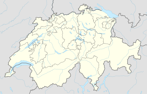
Location of Davos Wiesen  | ||
| Coordinates: 46°42′N 9°43′E / 46.700°N 9.717°ECoordinates: 46°42′N 9°43′E / 46.700°N 9.717°E | ||
| Country | Switzerland | |
| Canton | Graubünden | |
| District | Davos/Prättigau | |
| Area | ||
| • Total | 29.49 km2 (11.39 sq mi) | |
| Elevation (Reformierte Kirche Davos Wiesen) | 1,421 m (4,662 ft) | |
| Population | ||
| • Total | 327 | |
| • Density | 11/km2 (29/sq mi) | |
| Postal code | 7494 | |
| SFOS number | 3523 | |
| Surrounded by | Arosa, Stugl/Stuls, Davos Glaris, Davos Monstein, Filisur, Schmitten | |
| Website |
www SFSO statistics | |

Davos Wiesen (in the local Walser German dialect an de Wise [andə ˈʋɪʓə], Romansh: ![]() Tain ) is a village and one of six parts (former municipalities) of the municipality of Davos besides Davos Dorf, Davos Platz, Davos Frauenkirch, Davos Glaris and Davos Monstein.
Tain ) is a village and one of six parts (former municipalities) of the municipality of Davos besides Davos Dorf, Davos Platz, Davos Frauenkirch, Davos Glaris and Davos Monstein.
References
External links
| Wikimedia Commons has media related to Davos Wiesen. |
- Official website of Davos Wiesen (German)
- Official website of Davos (German)
This article is issued from Wikipedia - version of the 1/30/2016. The text is available under the Creative Commons Attribution/Share Alike but additional terms may apply for the media files.