Don River (Central Queensland)
This article is about the river located in Central Queensland. For the river located in North Queensland, see Don River (North Queensland).
For other uses, see Don River (disambiguation).
| Don | |
| River | |
| Country | Australia |
|---|---|
| State | Queensland |
| Region | Central Queensland |
| Part of | Fitzroy River basin |
| Source | Great Dividing Range |
| - location | below Black Mountain |
| - elevation | 246 m (807 ft) |
| - coordinates | 23°59′02″S 150°40′52″E / 23.98389°S 150.68111°E |
| Mouth | confluence with the Dawson River |
| - location | north of Baralaba |
| - elevation | 71 m (233 ft) |
| - coordinates | 23°57′13″S 149°51′11″E / 23.95361°S 149.85306°ECoordinates: 23°57′13″S 149°51′11″E / 23.95361°S 149.85306°E |
| Length | 165 km (103 mi) |
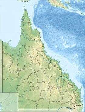
 Location of Don River mouth in Queensland
| |
| [1] | |
The Don River is a river located in Central Queensland, Australia.
Located within the Fitzroy River basin, the Don River rises in the Don River State Forest below Black Mountain and flows generally west, then southwest, than west, joined by twelve tributaries. The river reaches its confluence with the Dawson River north of Baralaba. The Don River descends 175 metres (574 ft) over its 165-kilometre (103 mi) course. From source to mouth, the river is crossed by the Burnett Highway and the Leichhardt Highway.[1]
See also
References
- 1 2 "Map of Don River, QLD". Bonzle Digital Atlas of Australia. Retrieved 19 November 2015.
This article is issued from Wikipedia - version of the 1/19/2016. The text is available under the Creative Commons Attribution/Share Alike but additional terms may apply for the media files.