Earnest Bridge
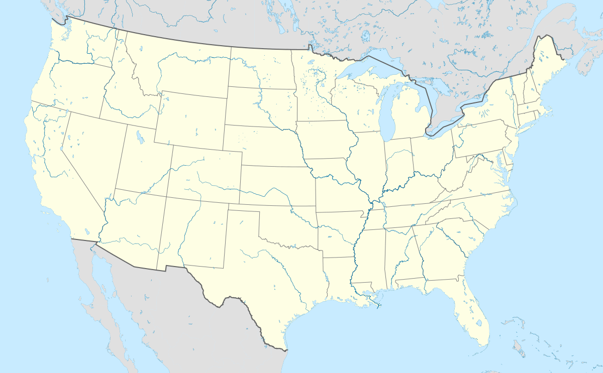
Coordinates: 44°12′04″N 122°50′10″W / 44.201111°N 122.836111°W
|
Earnest Bridge | |
|
The bridge in 2008 | |
   | |
| Nearest city | Marcola, Oregon |
|---|---|
| Area | 0.1 acres (0.040 ha) |
| Built | 1938 |
| Architectural style | Howe Trus |
| MPS | Oregon Covered Bridges TR |
| NRHP Reference # | 79002094[1] |
| Added to NRHP | November 29, 1979 |
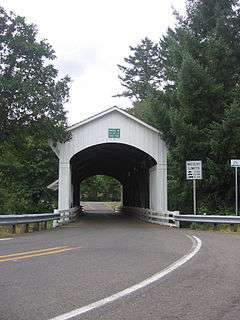
The Earnest Bridge, located near Marcola, Oregon, is listed on the National Register of Historic Places.[2] The name is spelled Ernest Bridge in some documents, including the NRHP listing, but spelled Earnest Bridge in the NRHP nomination and in signage on the bridge itself.[3]
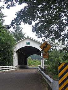
Earnest Covered Bridge, Lane County, Oregon
See also
- List of bridges on the National Register of Historic Places in Oregon
- National Register of Historic Places listings in Lane County, Oregon
References
- ↑ National Park Service (2010-07-09). "National Register Information System". National Register of Historic Places. National Park Service.
- ↑ "Oregon National Register List" (PDF). Oregon Parks and Recreation Department. June 6, 2011. p. 22. Retrieved July 16, 2011.
- ↑ Various (February 2, 2010). "Earnest Bridge/Ernest Bridge documentation, National Register of Historic Places" (PDF). National Park Service. Retrieved May 10, 2012.
| Lists by county |   | |
|---|---|---|
| Portland lists | ||
| Other lists |
| |
This article is issued from Wikipedia - version of the 11/28/2016. The text is available under the Creative Commons Attribution/Share Alike but additional terms may apply for the media files.