Eilean Mòr, Loch Sunart
For other places with the same name, see Eilean Mòr.
| Meaning of name | large island |
|---|---|
| Location | |
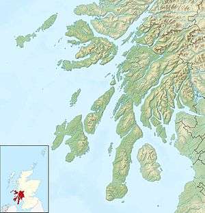 Eilean Mòr, Loch Sunart Eilean Mòr, Loch Sunart shown within Argyll and Bute | |
| OS grid reference | NM587612 |
| Physical geography | |
| Island group | Inner Hebrides |
| Area | 28 hectares (0.11 sq mi)[1] |
| Highest elevation | 37 metres (121 ft) |
| Administration | |
| Sovereign state | United Kingdom |
| Country | Scotland |
| Council area | Highland |
| Demographics | |
| Population | 0 |
Eilean Mòr, Loch Sunart is an uninhabited, tidal island opposite Oronsay at the entrance to Loch Sunart, an arm of the sea on the west coast of Scotland.[2] At low tide it is attached to Glenmore on the Ardnamurchan peninsula. The highest elevation is 123 feet (37 m). At low tide it is attached to Glenmore on the Ardnamurchan peninsula. The water around Eilean Mòr contains flame shells.[3]
References
- ↑ "Rick Livingstone’s Tables of the Islands of Scotland" (pdf) Argyll Yacht Charters. Retrieved 23 September 2013.
- ↑ "View: Sheet 24, North Skye - Ordnance Survey One-inch to the mile maps of Great Britain, Seventh Series, 1952-1961". National Library of Scotland. Retrieved 2016-02-08.
- ↑ "Scotland kayak dive Loch Sunart and Loch Ailort". Freesteel. 20 June 2011. Retrieved 15 September 2013.
Inhabited islands of the Hebrides | ||
|---|---|---|
| Inner Hebrides | 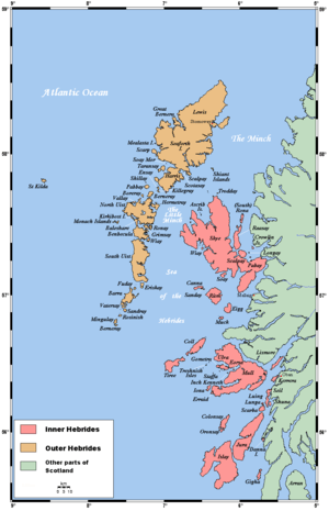 | |
| Outer Hebrides | ||
Coordinates: 56°40′50″N 5°56′25″W / 56.68056°N 5.94028°W
This article is issued from Wikipedia - version of the 6/11/2016. The text is available under the Creative Commons Attribution/Share Alike but additional terms may apply for the media files.