Elin Pelin Point
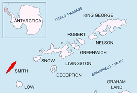
Location of Smith Island in the South Shetland Islands.

Topographic map of Smith Island.
Elin Pelin Point (Bulgarian: нос Елин Пелин, ‘Nos Elin Pelin’ \'nos e-'lin pe-'lin\) is a point on the northwest coast of Smith Island, South Shetland Islands situated 4.6 km north-northeast of Cape James and 4.8 km south-southwest of Lista Point. Bulgarian early mapping in 2009. Named after the Bulgarian writer Elin Pelin (pseudonym of Dimitar Stoyanov, 1877–1949).
Coordinates: 63°03′35″S 62°40′45″W / 63.05972°S 62.67917°W
Maps
- L.L. Ivanov. Antarctica: Livingston Island and Greenwich, Robert, Snow and Smith Islands. Scale 1:120000 topographic map. Troyan: Manfred Wörner Foundation, 2009. ISBN 978-954-92032-6-4
References
This article includes information from the Antarctic Place-names Commission of Bulgaria which is used with permission.
This article is issued from Wikipedia - version of the 11/14/2016. The text is available under the Creative Commons Attribution/Share Alike but additional terms may apply for the media files.