Fatehpur (community development block)
| Fatehpur | |
|---|---|
| Community development block | |
  Fatehpur 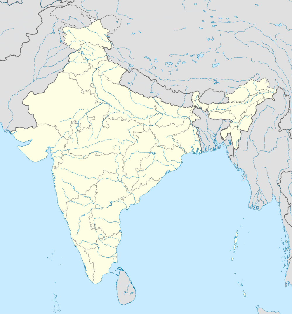  Fatehpur Location in Jharkhand, India 24°6'56"N 86°59'51"E | |
| Coordinates: 24°6′56″N 86°59′51″E / 24.11556°N 86.99750°ECoordinates: 24°6′56″N 86°59′51″E / 24.11556°N 86.99750°E | |
| Country |
 India India |
| State | Jharkhand |
| District | Jamtara |
| Government | |
| • Type | Community development block |
| Elevation | 201 m (659 ft) |
| Population (2011) | |
| • Total | 89,645 |
| Languages | |
| • Official | Hindi, Santali |
| Literacy (2011) | |
| • Total literates | 49,661 (65.66%) |
| Time zone | IST (UTC+5:30) |
| Vehicle registration | JH 21 |
| Lok Sabha constituency | Dumka |
| Vidhan Sabha constituency | Nala |
| Website |
jamtara |
| CD Block | |
Fatehpur is a community development block that forms an administrative division in Jamtara district, Jharkhand state, India. It is located 27 km from Jamtara, the district headquarters.
Geography
Fatehpur is located at 24°6′56″N 86°59′51″E / 24.11556°N 86.99750°E.[1]
Fatehpur CD Block has 15 panchayats and 179 villages.[2]
Panchayats of Fatehpur CD Block are: Agaiyasarmundi, Asanberia, Bamandiha, Bandarnacha, Banudih, Bindapathar, Chapuriya, Dhasaniya, Dumaria, Fatehpur, Jamjori, Khamarbad, Palajori, Simaldubi and Simladangal.[2]
Demographics
As per 2011 Census of India Fatehpur CD Block had a total population of 89,645, all of which were rural. There were 45,546 (51 %) males and 44,099 (49 %) females. Scheduled Castes numbered 6,920 and Scheduled Tribes numbered 42,090. Population below 6 years was 14,008.[3]
Fatehpur is a village with a population of 4,107 as per 2011 census.[3]
Literacy
As per 2011 census the total number of literates in Fatehpur CD Block was 49,661 (65.66 % of the population over 6 years) out of which 30,381 (61 %) were males and 19,280 (39 %) were females.[3]
As per 2011 census Primary Census Abstract Tables Jamtara district had a population of above 6 years of 660,049 and the total number of literates in the district were 426,312 (64.59 % of the population over 6 years). [4] According to District Census 2011, literacy in Jamtara district was 64.59.[5]Literacy in Jharkhand (for population over 7 years) was 66.41% in 2011. [6]Literacy in India in 2011 was 74.04%.[7]
| Literacy in CD Blocks of Jamtara district |
|---|
| Narayanpur – 55.72% |
| Karmatanr – 58.16% |
| Jamtara – 66.31% |
| Nala – 64.63% |
| Fatehpur – 65.66% |
| Kundhit – 63.64% |
| Source: 2011 Census: CD Block Wise Primary Census Abstract Data |
Transportation
Chittaranjan railway station on the Howrah-Delhi main line is 18 km from Fatehpur. The Ajay forms the border between Jamtara district of Jharkhand and Bardhaman district of West Bengal. There is a narrow bridge for use by pedestrians and two wheelers, across the Ajay near Chittaranjan (Simjuri).[8][9]
References
- ↑ "High School Fatehpur (Jamtara)". Jharkhand. Wikimapia. Retrieved 26 December 2015.
- 1 2 "Jamtara district of Jharkhand". Blocks and Panchayats. Jamtara district administration. Retrieved 26 December 2015.
- 1 2 3 "2011 Census C.D. Block Wise Primary Census Abstract Data(PCA)". Jharkhand – District-wise CD Blocks. Registrar General and Census Commissioner, India. Retrieved 26 December 2015.
- ↑ "2011 Census – Primary Census Abstract Data Tables". Jharkhand – District-wise. Registrar General and Census Commissioner, India. Retrieved 27 December 2015.
- ↑ "District Census 2011". District Census Details, Sr. No. 486, lot no. 49. Population Census 2011. Retrieved 27 December 2015.
- ↑ "Jharkhand Profile" (PDF). Census Info India 2011 – Final population totals. Census Commissioner, Government of India. Retrieved 27 December 2015.
- ↑ "Literacy in India". Census 2011. Census population 2015 data. Retrieved 27 December 2015.
- ↑ "Fatehpur". onrfivenine. Retrieved 27 December 2015.
- ↑ "Ajay River's bridge at Fatehpur, Chittaranjan, West Bengal, India (Chittaranjan)". Wikimapia. Retrieved 27 December 2015.