Ghatabillod
| Ghatabillod घाटाबिल्लोद | |
|---|---|
| Town | |
  Ghatabillod 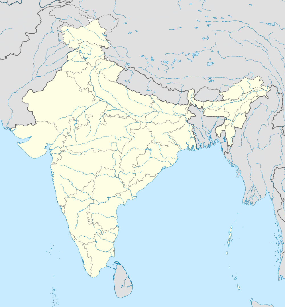  Ghatabillod Location in Madhya Pradesh, India | |
| Coordinates: 22°40′0″N 75°31′0″E / 22.66667°N 75.51667°ECoordinates: 22°40′0″N 75°31′0″E / 22.66667°N 75.51667°E | |
| Country |
 India India |
| State | Madhya Pradesh |
| District | Indore |
| Elevation | 522 m (1,713 ft) |
| Population | |
| • Total | 10,000 |
| Languages | |
| • Official | Hindi |
| Time zone | IST (UTC+5:30) |
| ISO 3166 code | IN-MP |
| Vehicle registration | MP |
| Coastline | 0 kilometres (0 mi) |
| Nearest city | Indore |
| Sex ratio | 65/35 ♂/♀ |
Ghatabillod is a town in Dhar district of the Madhya Pradesh state of India.[1] There are many factories in this town like National Steel and Agro Industries. The Chambal river flows through the town.
Geography
It is located at 22°40′0″N 75°31′0″E / 22.66667°N 75.51667°E with an elevation of 522 m above MSL.[2]
Location
National Highway 59 passes through Ghat Bilod. It is at a distance of 32 km from Indore. The nearest airport is Devi Ahilyabai Holkar Airport at Indore. and 22 km from dhar
References
- ↑ Singh, Anuraag (28 June 2014). "Ghatabillod killing solved, business partner mastermind". The Times of India. Ghatabillod. Times News Network. Retrieved 5 January 2015.
- ↑ http://www.fallingrain.com/world/IN/35/Ghat_Bilod.html Map and weather of Ghat Bilod
External links
This article is issued from Wikipedia - version of the 10/23/2016. The text is available under the Creative Commons Attribution/Share Alike but additional terms may apply for the media files.