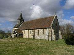
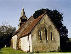
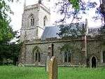
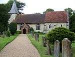
Grade II* listed buildings in East Hampshire
There are over 20,000 Grade II* listed buildings in England. This page is a list of these buildings in the district of East Hampshire in Hampshire.
East Hampshire

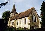
.jpg)

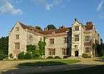


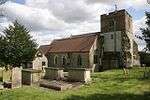
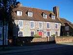
_p2.066_-_Froyle_Place%2C_Hampshire.jpg)


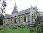
%2C_College_St%2C_Petersfield_2007_(Tony_Holkham).jpg)


Notes
- ↑ The date given is the date used by Historic England as significant for the initial building or that of an important part in the structure's description.
- ↑ Sometimes known as OSGB36, the grid reference is based on the British national grid reference system used by the Ordnance Survey.
- ↑ The "List Entry Number" is a unique number assigned to each listed building and scheduled monument by Historic England.
External links
![]() Media related to Grade II* listed buildings in Hampshire at Wikimedia Commons
Media related to Grade II* listed buildings in Hampshire at Wikimedia Commons
This article is issued from Wikipedia - version of the 11/8/2016. The text is available under the Creative Commons Attribution/Share Alike but additional terms may apply for the media files.