Grassengrat
| Grassengrat | |
|---|---|
| Stössenstock | |
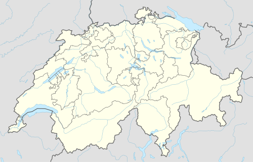 Grassengrat Location in Switzerland | |
| Highest point | |
| Elevation | 2,941 m (9,649 ft) |
| Prominence | 91 m (299 ft) [1] |
| Parent peak | Wichelplanggstock |
| Coordinates | 46°46′3.9″N 8°28′22.3″E / 46.767750°N 8.472861°ECoordinates: 46°46′3.9″N 8°28′22.3″E / 46.767750°N 8.472861°E |
| Geography | |
| Location | Obwalden/Uri, Switzerland |
| Parent range | Urner Alps |
The Grassengrat is a multi-summited mountain of the Urner Alps, located on the border between the cantons of Obwalden and Uri in Central Switzerland. It lies on the range between the Titlis and the Gross Spannort. The main summit has an elevation of 2,941 metres and is named Stössenstock.
References
- ↑ Retrieved from the Swisstopo topographic maps and Google Earth. The key col is located south of the summit at 2,850 metres.
External links
This article is issued from Wikipedia - version of the 6/2/2016. The text is available under the Creative Commons Attribution/Share Alike but additional terms may apply for the media files.