Happurg
| Happurg | ||
|---|---|---|
| ||
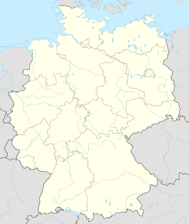  Happurg | ||
Location of Happurg within Nürnberger Land district  | ||
| Coordinates: 49°29′35″N 11°28′16″E / 49.49306°N 11.47111°ECoordinates: 49°29′35″N 11°28′16″E / 49.49306°N 11.47111°E | ||
| Country | Germany | |
| State | Bavaria | |
| Admin. region | Mittelfranken | |
| District | Nürnberger Land | |
| Municipal assoc. | Happurg | |
| Government | ||
| • Mayor | Bernd Bogner (FW) | |
| Area | ||
| • Total | 42.59 km2 (16.44 sq mi) | |
| Population (2015-12-31)[1] | ||
| • Total | 3,764 | |
| • Density | 88/km2 (230/sq mi) | |
| Time zone | CET/CEST (UTC+1/+2) | |
| Postal codes | 91230 | |
| Dialling codes | 09151 | |
| Vehicle registration | LAU, ESB, HEB, N, PEG | |
| Website | www.happurg.de | |

Happurg is a municipality in the district of Nürnberger Land in Bavaria in Germany. During World War II, a subcamp of Flossenbürg concentration camp was located here.[2]
Geography
Neighboring Municipalities
Neighboring municipalities and communities (to the north going clockwise) are: Pommelsbrunn, Alfeld, Lauterhofen, Offenhausen, Engelthal, and Hersbruck.
Geographic Location
The municipality lies in the eastern part of the Franconian Jura
References
- ↑ "Fortschreibung des Bevölkerungsstandes". Bayerisches Landesamt für Statistik und Datenverarbeitung (in German). June 2016.
- ↑ Christine O'Keefe. Concentration Camps

This article is issued from Wikipedia - version of the 11/22/2016. The text is available under the Creative Commons Attribution/Share Alike but additional terms may apply for the media files.