Heidedal
| Heidedal Heidedal Dal | |
|---|---|
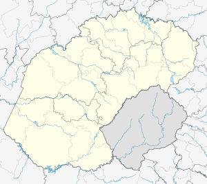  Heidedal  Heidedal  Heidedal
| |
| Coordinates: 29°08′07″S 26°14′47″E / 29.1353°S 26.2465°ECoordinates: 29°08′07″S 26°14′47″E / 29.1353°S 26.2465°E | |
| Country | South Africa |
| Province | Free State |
| District | Motheo |
| Municipality | Mangaung |
| Main Place | Bloemfontein |
| Area[1] | |
| • Total | 2.79 km2 (1.08 sq mi) |
| Population (2011)[1] | |
| • Total | 9,605 |
| • Density | 3,400/km2 (8,900/sq mi) |
| Racial makeup (2011)[1] | |
| • Black African | 16.5% |
| • Coloured | 81.5% |
| • Indian/Asian | 0.7% |
| • White | 0.6% |
| • Other | 0.8% |
| First languages (2011)[1] | |
| • Afrikaans | 88.1% |
| • English | 4.0% |
| • Sotho | 3.7% |
| • Tswana | 2.2% |
| • Other | 2.0% |
| Postal code (street) | 9301 |
| PO box | 9306 |
Heidedal is a 82% Coloured suburb of the city of Bloemfontein in South Africa.
Education
- Joe Solomon Primary School
- Credence Primary School
- Olympia Primary School
- Heide Primary School
- Dr. Blok Secondary School
- Heatherdale Secondary School
- Petunia Secondary School
Recreation
- Clive Solomon Stadium - Rugby, Football, Netball, Cricket.
- Billy Murison Stadium - Football, Athletics, Tennis.
- Heidedal Public Swimming Pool
Religion
Heidedal has a diverse Christian population, and a Muslim population of note.
Christian denominations
- Heidedal Methodist Church
- Anglican Church - Heidedal Parish
- Uniting Reformed Church of Southern Africa - Heatherdale
- Roman Catholic Church in South Africa - Heidedal Parish
- Apostolic Faith Mission
- Evangelical Lutheran Church - Heidedal
Islam
- Miftahuddin Islamic Institute Masjid
References
- 1 2 3 4 "Sub Place Heidedal". Census 2011.
.svg.png)
This article is issued from Wikipedia - version of the 7/27/2016. The text is available under the Creative Commons Attribution/Share Alike but additional terms may apply for the media files.