Hoath
| Hoath | |
 Holy Cross Church, Hoath |
|
 Hoath |
|
| Area | 6.51 km2 (2.51 sq mi) |
|---|---|
| Population | 551 (Civil Parish 2011)[1] |
| – density | 85/km2 (220/sq mi) |
| OS grid reference | TR200641 |
| District | City of Canterbury |
| Shire county | Kent |
| Region | South East |
| Country | England |
| Sovereign state | United Kingdom |
| Post town | CANTERBURY |
| Postcode district | CT3 |
| Dialling code | 01227 |
| Police | Kent |
| Fire | Kent |
| Ambulance | South East Coast |
| EU Parliament | South East England |
| UK Parliament | Canterbury |
Coordinates: 51°20′02″N 1°09′47″E / 51.334°N 1.163°E
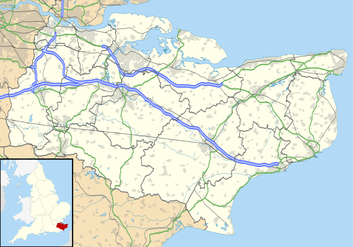
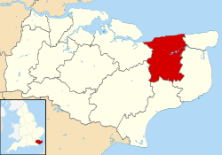
Hoath is a semi-rural village and civil parish in the City of Canterbury local government district. The hamlets of Knaves Ash, Maypole, Ford, Old Tree, Shelvingford and Stoney Acre are included in the parish.
Amenities
Within Hoath there is a small primary school, a camp site called Southview Camping, a public house named the Prince of Wales, a small church and a village hall.
Hoath has a small general aviation airfield (ICAO: EGHB) west of the village near Maypole.
History
Hoath was part of the estate granted by King Ecgberht of Kent in 669 for the foundation of the church at Reculver,[2][3] and remained part of that estate when King Eadred granted it to Archbishop Oda of Canterbury in 949.[4][Fn 1] A Chantry either in or connected with Hoath is recorded in the 14th century, with John Gardener as the chaplain, successor to Henry atte Were.[6] The hamlet of Ford was the location of Ford Palace, a residence of the Archbishops of Canterbury from at least the 14th century to the 17th.[7]
References
Footnotes
Notes
- ↑ Key Statistics; Quick Statistics: Population Density United Kingdom Census 2011 Office for National Statistics Retrieved 21 November 2013
- ↑ Gough 2001, p. 251.
- ↑ Garmonsway 1972, pp. 34–5.
- ↑ Gough 1992.
- ↑ Flight 2010, p. 162.
- ↑ Plea Rolls of the Court of Common Pleas; National Archive; CP 40/541, year 1396; http://aalt.law.uh.edu/AALT6/R2/CP40no541a/bCP40no541adorses/IMG_0652.htm; first entry, with "Kant" in the margin; the dispute was whether a situation should be investigated in the secular or ecclastical Courts .
- ↑ Gough 2001.
Bibliography
- Flight, C. (2010), The Survey of Kent: Documents Relating to the Survey of the County Conducted in 1086, BAR British Series, 506, Archaeopress, ISBN 978-1-4073-0541-7, archived from the original on 23 May 2014, retrieved 23 May 2014
- Garmonsway, G.N., ed. (1972), The Anglo-Saxon Chronicle, Dent, ISBN 0-460-11624-X
- Gough, H. (1992), "Eadred's charter of AD 949 and the extent of the monastic estate at Reculver, Kent", in Ramsay, N.; Sparks, M.; Tatton-Brown, T., St Dunstan: His Life, Times and Cult, Boydell, pp. 89–102, ISBN 978-0-85115-301-8
- Gough, H. (2001), "The Archbishop's manor at Ford, Hoath" (PDF), Archaeologia Cantiana, 121: 251–68, ISSN 0066-5894, archived (PDF) from the original on 13 September 2015
External links
| Wikimedia Commons has media related to Hoath. |
- www.hoath.org - village website with news, upcoming events and a history of the village
- Maypole Airfield official site
