Jaikheda
| Jaikheda | |
|---|---|
| village | |
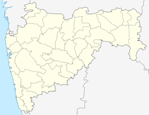 Jaikheda  Jaikheda Location in Maharashtra, India | |
| Coordinates: 20°47′00″N 74°12′00″E / 20.78333°N 74.20000°ECoordinates: 20°47′00″N 74°12′00″E / 20.78333°N 74.20000°E | |
| Country |
|
| State | Maharashtra |
| District | Nashik |
| Elevation | 618 m (2,028 ft) |
| Languages | |
| • Official | Marathi |
| Time zone | IST (UTC+5:30) |
| Nearest city | Satana |
Jaikheda is a village in Indian state of Maharashtra. It is situated in Baglan Taluka in Nashik district.
It is located on the right (south) bank of the Mosam River. The population is about 8,000.
Underground canal
A state highway connecting Malegaon to Pimpalner goes through the village. An underground canal was built between Sompur and Jaikheda under the Maratha Empire. It was built to provide irrigation water for farmland.
Agricultural sustainability
The majority of people in Jaikheda are farmers. The main crops include sugarcane, grapes, pomegranates, onions and other vegetables. Major businesses are related to the transport of goods primarily farm produce. It the main marketplace for neighbouring villages.
External links
- "Jaikhedan Map — Satellite Images of Jaikhedan", Maplandia.com
- MSN Map
This article is issued from Wikipedia - version of the 8/24/2016. The text is available under the Creative Commons Attribution/Share Alike but additional terms may apply for the media files.