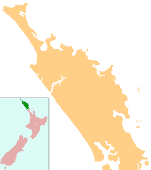
Kaikohe Hill
| Kaikohe Hill | |
|---|---|
| Tokareireia | |
 Kaikohe Hill | |
| Highest point | |
| Elevation | 282 m (925 ft) |
| Coordinates | 35°24′33″S 173°47′2″E / 35.40917°S 173.78389°ECoordinates: 35°24′33″S 173°47′2″E / 35.40917°S 173.78389°E |
| Geography | |
| Location | Kaikohe, New Zealand |
| Geology | |
| Volcanic arc/belt | Kaikohe-Bay of Islands |
Kaikohe Hill (also Tokareireia) is a 282 m high basaltic scoria cone, in the Kaikohe-Bay of Islands volcanic field in New Zealand. It is on the western edge of the town of Kaikohe.
References
External links
This article is issued from Wikipedia - version of the 12/6/2015. The text is available under the Creative Commons Attribution/Share Alike but additional terms may apply for the media files.