Kalii
| Kalii | |
|---|---|
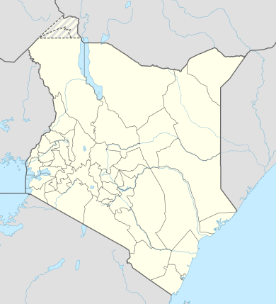 Kalii Location of Kalii | |
| Coordinates: 2°06′S 37°46′E / 2.1°S 37.77°ECoordinates: 2°06′S 37°46′E / 2.1°S 37.77°E | |
| Country | Kenya |
| Province | Eastern Province |
| Time zone | EAT (UTC+3) |
Kalii is a settlement in Kenya's Makueni County. It is located about 20 kilometres north of Makindu town.[1]
Kalii is located in the Twaandu location [2] in Makindu division of Makueni County.[3] Kalii is also part of Twaandu/Kiboko ward of Kibwezi Constituency and Makueni County Council.[4]
References
- ↑ Google Maps - Kalii
- ↑ information.go.ke: CDF allocation by sector and location (2003-6)
- ↑ UN Office for the Coordination of Humanitarian Affairs (OCHA): Kenya_AdminLevels_1-4
- ↑ Electoral Commission of Kenya: Registration centres by electoral area and constituency
This article is issued from Wikipedia - version of the 11/9/2016. The text is available under the Creative Commons Attribution/Share Alike but additional terms may apply for the media files.