Kalna subdivision
| Kalna subdivision কালনা মহকুমা | |
|---|---|
| subdivision | |
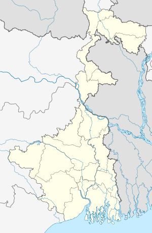  Kalna subdivision 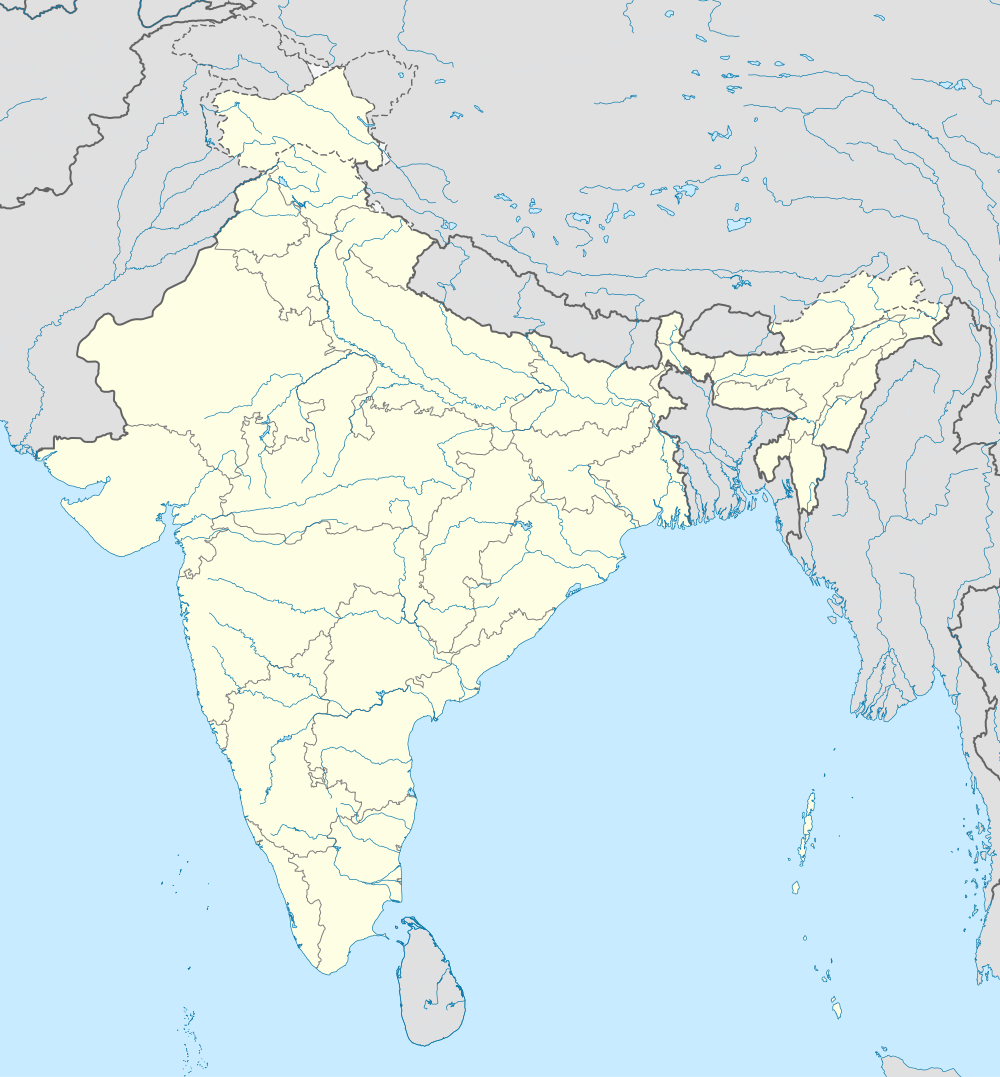  Kalna subdivision Location in West Bengal, India | |
| Coordinates: 23°13′N 88°10′E / 23.22°N 88.17°ECoordinates: 23°13′N 88°10′E / 23.22°N 88.17°E | |
| Country |
 India India |
| State | West Bengal |
| District | Bardhaman |
| Headquarters | Kalna |
| Languages | |
| • Official | Bengali, English |
| Time zone | IST (UTC+5:30) |
| ISO 3166 code | ISO 3166-2:IN |
| Vehicle registration | WB |
| Website |
wb |
Kalna subdivision is a subdivision of the Bardhaman district in the state of West Bengal, India. It consists of Kalna municipality and five community development blocks: Kalna–I, Kalna–II, Manteswar, Purbasthali–I and Purbasthali–II. The five blocks contain 47 gram panchayats and six census towns. The subdivision has its headquarters at Kalna. Contact No- 03454-255028/255024(R). Fax-255015/256372
Area
Apart from the Kalna municipality, the subdivision contains six census towns and rural areas of 47 gram panchayats under five community development blocks: Kalna–I, Kalna–II, Manteswar, Purbasthali–I and Purbasthali–II.[1] The six census towns are: Uttar Goara, Dhatrigram, Srirampur, Hatsimla, Gopinathpur and Patuli.[2]
Blocks
Kalna–I block
Rural area under Kalna–I block consists of nine gram panchayats, viz. Atghoria Simlan, Dhatrigram, Krishnadevpur, Baghnapara, Hatkalna, Nandai, Begpur, Kankuria and Sultanpur.[1] Urban area under this block comprises two census towns: Uttar Goara and Dhatrigram.[2] Kalna police station serves this block.[3] Headquarters of this block is in Rangapara and Lichutala, Kalna.[4]
Kalna–II block
Rural area under Kalna–II block consists of eight gram panchayats, viz. Akalpaus, Badla, Baradhamas, Pindira, Anukhal, Baidyapur, Kalyanpur and Satgachhi.[1] There is no urban area under this block.[2] Kalna police station serves this block.[3] Headquarters of this block is in Singarkone.[4]
Manteswar block
Rural area under Manteswar block consists of 13 gram panchayats, viz. Baghson, Kusumgram, Manteswar, Vagra Mulgram, Bamunpara, Majhergram, Pipalan, Denur, Mamudpur–I, Putsuri, Jamna, Mamudpur–II and Shushunia.[1] There is no urban area under this block.[2] Manteswar police station serves this block.[3] Headquarters of this block is in Mateswar.[4]
Purbasthali–I block
Rural area under Purbasthali–I block consists of seven gram panchayats, viz. Bogpur, Jahannagar, Nasratpur, Sreerampur, Dogachhia, Nadanghat and Samudragarh.[1] Urban area under this block comprises three census towns: Srirampur, Hatsimla and Gopinathpur.[2] Purbasthali police station serves this block.[3] Headquarters of this block is in Srirampur.[4]
Purbasthali–II block
Rural area under Purbasthali–II block consists of ten gram panchayats, viz. Jhaudanga, Majdia, Nimdaha, Purbasthali, Kalekhantala–I, Mertala, Patuli, Kalekhantala–II, Muksimpara and Pilla.[1] Urban area under this block comprises one census town: Patuli.[2] Purbasthali police station serves this block.[3] Headquarters of this block is in Patuli.[4]
Legislative segments
As per order of the Delimitation Commission in respect of the delimitation of constituencies in West Bengal:[5]
- The Kalna municipal area, the Kalna–II block and the gram panchayats of Bagnapara, Hatkalna and Krishnadevpur under the Kalna–I block will form the area under the Kalna assembly constituency of West Bengal.
- The other six gram panchayats under the Kalna–I block will be part of the Purbasthali Dakshin assembly constituency, which will also contain five gram panchayats under the Purbasthali–I block — Nasratpur, Samudragarh, Bagpur, Sreerampur and Nandanghat.
- The other two gram panchayats under the Purbasthali–I block, the area under the Purbasthali–II block, and the gram panchayats of Bamunpara, Mamudpur–II and Putsuri under the Manteswar block will together form the area under the Purbasthali Uttar assembly constituency.
- The other ten gram panchayats under the Manteswar block will be part of the domain of the Monteswar assembly constituency.
- The constituency of Kalna will be reserved for Scheduled castes (SC) candidates.
- The Monteswar constituency will be an assembly segment of the Bardhaman-Durgapur (Lok Sabha constituency).
- The constituencies of Kalna, Purbasthali Uttar and Purbasthali Dakshin will be assembly segments under the Bardhaman Purba (Lok Sabha constituency), which will be reserved for SC candidates.
References
- 1 2 3 4 5 6 "Directory of District, Sub division, Panchayat Samiti/ Block and Gram Panchayats in West Bengal, March 2008". West Bengal. National Informatics Centre, India. 19 March 2008. Retrieved 17 December 2008.
- 1 2 3 4 5 6 "District Wise List of Statutory Towns( Municipal Corporation,Municipality,Notified Area and Cantonment Board) , Census Towns and Outgrowths, West Bengal, 2001". Census of India, Directorate of Census Operations, West Bengal. Retrieved 17 December 2008.
- 1 2 3 4 5 "List of Districts/C.D.Blocks/ Police Stations with Code No., Number of G.Ps and Number of Mouzas". Census of India, Directorate of Census Operations, West Bengal. Retrieved 17 December 2008.
- 1 2 3 4 5 "Contact details of Block Development Officers". Bardhaman district. Panchayats and Rural Development Department, Government of West Bengal. Retrieved 26 December 2008.
- ↑ "Press Note, Delimitation Commission" (PDF). Assembly Constituencies in West Bengal. Delimitation Commission. pp. 21, 25. Retrieved 24 January 2009.
| Cities, municipal and census towns |
| ||||||||||||||||||||||
|---|---|---|---|---|---|---|---|---|---|---|---|---|---|---|---|---|---|---|---|---|---|---|---|
| Locations other than cities and towns | |||||||||||||||||||||||
| Related topics |
| ||||||||||||||||||||||

