Kasare, Dhule
| Kasare कासारे | |
|---|---|
| village | |
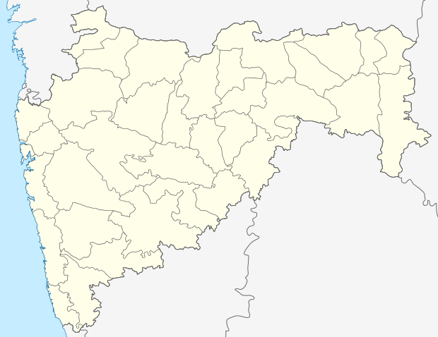 Kasare  Kasare Location in Maharashtra, India | |
| Coordinates: 20°56′57″N 74°15′33″E / 20.94917°N 74.25917°ECoordinates: 20°56′57″N 74°15′33″E / 20.94917°N 74.25917°E | |
| Country |
|
| State | Maharashtra |
| District | Dhule |
| Taluka | Sakri |
| Government | |
| • Body | Village panchayat |
| Elevation | 450 m (1,480 ft) |
| Population (2001) | |
| • Total | 7,691 |
| Languages | |
| • Official | Marathi |
| Time zone | IST (UTC+5:30) |
| PIN | 424310 |
| Lok Sabha constituency | Nandurbar |
| Vidhan Sabha constituency | Sakri |
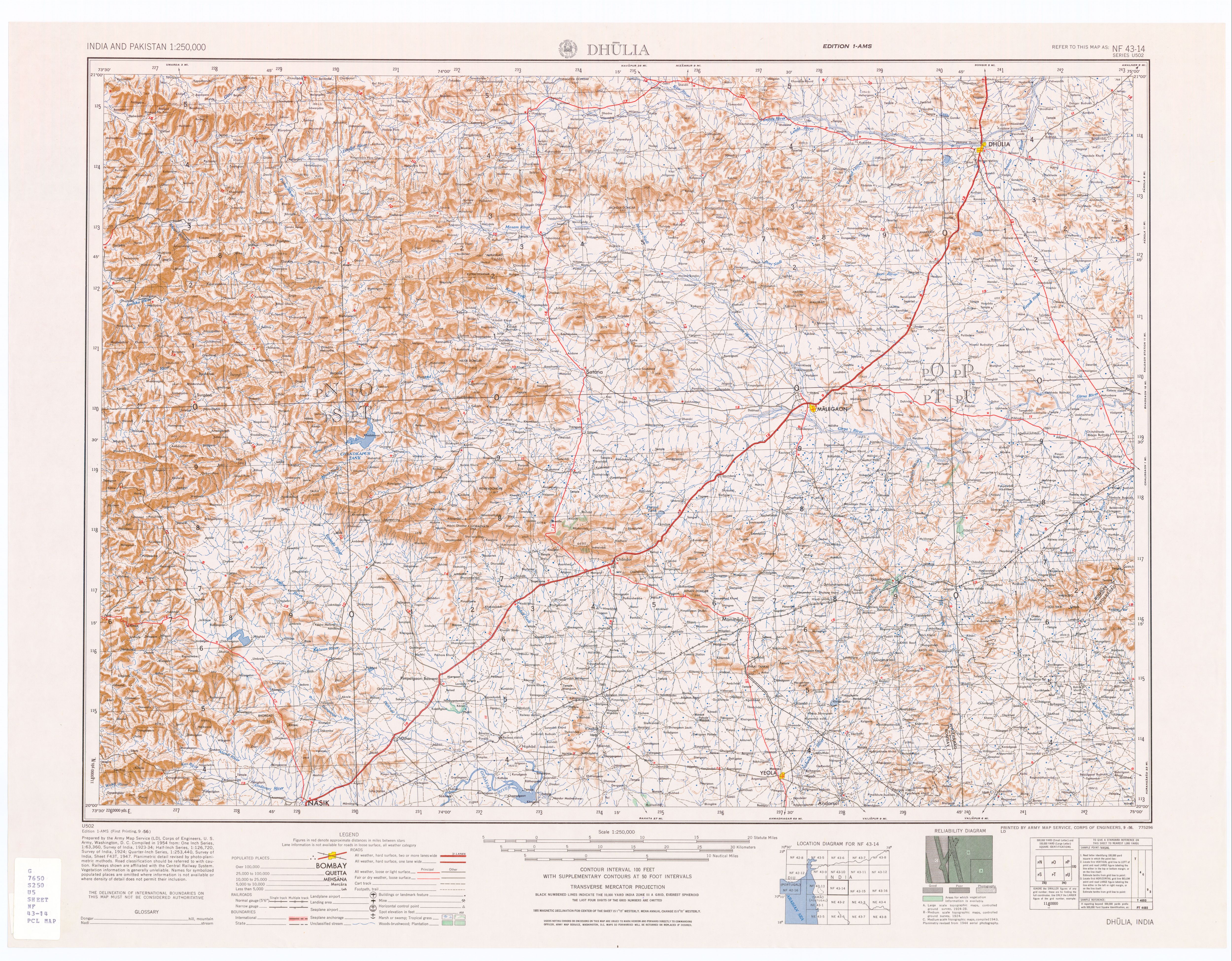
Kasare (Marathi: कासारे), is a panchayat village[1] in Dhule district of Maharashtra, India.[2][3] Administratively, Kasare is under Sakri Taluka of Dhule District in Maharashtra.[3] There is only the single village of Kasare in the Kasare gram panchayat.[3] This village is located 10 km by road southwest of the town of Sakri, on the right (south) bank of the Panjhra River.[4]
Demographics
In the 2001 census, the village of Kasare had 7,691 inhabitants, with 3,917 males (50.9%) and 3,774 females (49.1%), for a gender ratio of 963 females per thousand males.[5]
Religion
The majority of the population in Kasare is Hindu. There are several temples in the village.
Notable person
Late Mr. Yashvantrao Sakharam Desale was first MLA and freedom fighter from kasare and awarded by Tamraptra by Mrs. Indira Gandhi (Ex. PM of India)
See also
References
- ↑ 2011 Village Panchayat Code for Kasare = 176002, "Reports of National Panchayat Directory: Village Panchayat Names of Sakri, Dhule, Maharashtra". Ministry of Panchayati Raj, Government of India.
- ↑ 2001 Census Village code for Kasare = 00144200, "2001 Census of India: List of Villages by Tehsil: Maharashtra" (PDF). Registrar General & Census Commissioner, India. p. 28. Archived (PDF) from the original on 13 November 2012.
- 1 2 3 2011 Census Village code for Kasare = 526441, "Reports of National Panchayat Directory: List of Census Villages mapped for: Kasare Gram Panchayat, Sakri, Dhule, Maharashtra". Ministry of Panchayati Raj, Government of India.
- ↑ Dhulia, India, Sheet NF 43-14 (topographic map, scale 1:250,000), Series U-502, United States Army Map Service, September 1956
- ↑ "Census 2001 Population Finder: Maharashtra: Dhule: Sakri: Kasare". Office of The Registrar General & Census Commissioner, Ministry of Home Affairs, Government of India. Archived from the original on 15 May 2013.
Dhule district topics | ||
|---|---|---|
| History |  | |
| Rivers and lakes | ||
| Cities and towns | ||
| Culture | ||
| Transport | ||
| Lok Sabha constituencies | ||
| Vidhan Sabha constituencies |
| |