Kettle Creek Battlefield
|
Kettle Creek Battlefield | |
|
Kettle Creek Battlefield site and historical marker | |
 | |
| Nearest city | Washington, Georgia |
|---|---|
| Coordinates | 33°41′26″N 82°53′11″W / 33.69056°N 82.88639°WCoordinates: 33°41′26″N 82°53′11″W / 33.69056°N 82.88639°W |
| Area | 40 acres (16 ha) |
| NRHP Reference # | 75000617[1] |
| Added to NRHP | June 26, 1975 |
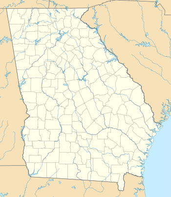
Kettle Creek Battlefield is a 40 acres (16 ha) historic site outside Washington, Georgia in Wilkes County, Georgia, at the location of the Battle of Kettle Creek, in 1779, in the American Revolutionary War. It was added to the National Register of Historic Places on June 26, 1975. It is located 9 miles (14 km) southwest of Washington off Tyrone Road.
The NRHP-listed area encircles "War Hill", a 500 feet (150 m) high hill, which has the Kettle Creek Monument erected upon it, by the War Department in 1930. There are also historical markers placed by the Georgia Historical Commission.[2]
See also
References
- ↑ National Park Service (2010-07-09). "National Register Information System". National Register of Historic Places. National Park Service.
- ↑ Kenneth H. Thomas, Jr. (March 15, 1975). "National Register of Historic Places Registration: Kettle Creek Battlefield (War Hill)" (PDF). National Park Service. Retrieved November 28, 2016. with four photos from 1974
This article is issued from Wikipedia - version of the 12/2/2016. The text is available under the Creative Commons Attribution/Share Alike but additional terms may apply for the media files.