Kopela
| Kopela | |
|---|---|
| village | |
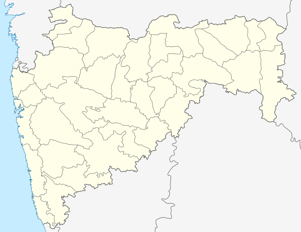 Kopela  Kopela Location in Maharashtra, India | |
| Coordinates: 18°50′N 80°14′E / 18.83°N 80.23°ECoordinates: 18°50′N 80°14′E / 18.83°N 80.23°E | |
| Country |
|
| State | Maharashtra |
| District | Gadchiroli |
| Elevation | 127 m (417 ft) |
| Languages | |
| • Official | Marathi |
| Time zone | IST (UTC+5:30) |
Kopela is a village in the Gadchiroli district of Maharashtra, India.
Geography
Kopela is located at 18°50′N 80°14′E / 18.83°N 80.23°E.[1] It has an average elevation of 127 metres (419 feet).
It lies on National highway No 16 between Nizamabad in Andhra Pradesh and Jagdalpur in Chhattisgarh State.
It is on the border of Maharashtra and Chhattisgarh states.
References
This article is issued from Wikipedia - version of the 8/24/2016. The text is available under the Creative Commons Attribution/Share Alike but additional terms may apply for the media files.