Kumbalam, Kollam
| Kumbalam കുമ്പളം | |
|---|---|
| village | |
 Kumbalam 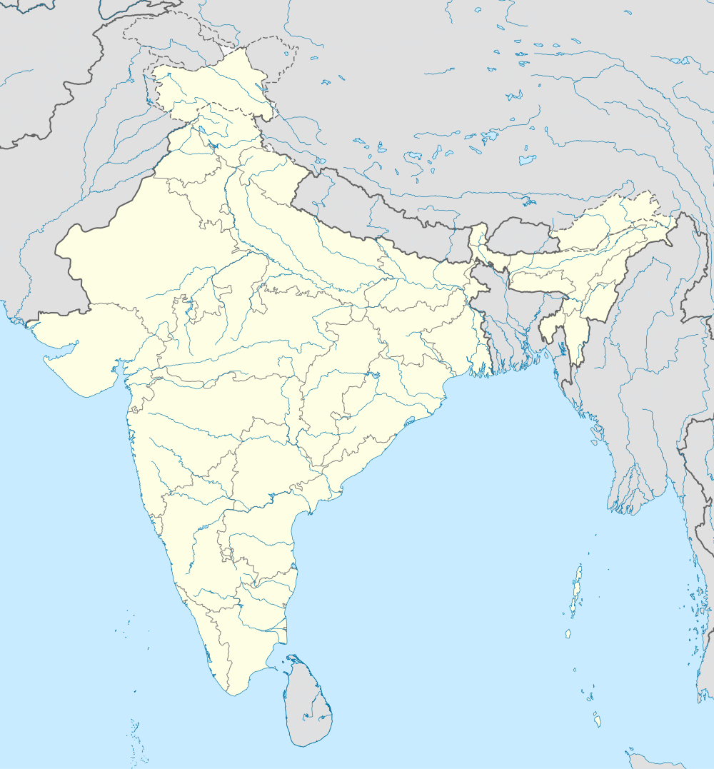 Kumbalam Location in Kerala, India | |
| Coordinates: 8°59′31″N 76°39′43″E / 8.991990°N 76.662083°ECoordinates: 8°59′31″N 76°39′43″E / 8.991990°N 76.662083°E | |
| Country |
|
| State | Kerala |
| District | Kollam |
| Elevation | 30 m (100 ft) |
| Population (2001) | |
| • Total | 4,000 |
| Languages | |
| • Official | Malayalam, English |
| Time zone | IST (UTC+5:30) |
| PIN | 691 503 |
| Telephone code | 0474 |
| ISO 3166 code | IN-KL-2 XXXX |
| Vehicle registration | KL-02 |
| Nearest city | Kundara |
| Lok Sabha constituency | Kollam |
| Climate | Tropical monsoon (Köppen) |
| Avg. summer temperature | 35 °C (95 °F) |
| Avg. winter temperature | 20 °C (68 °F) |
Kumbalam is a place in Kollam district of Kerala, India. It has a population of around 4000 and is a part of Perayam grama panchayat. It is in the bank of Astamudi lake and houses an international school.[1] Nearby places are Karikuzhi, Kottappuram and Perayam.
Education
- International School
St. Joseph's International Academy
- Higher Secondary School
St.Michael's Vocational Higher Secondary School[2]
- Lower Primary School
St.Mary’s Lower Primary School KUMBALAM PUBLIC LIBRARY Since 1951
Religion
Kumbalam is one of the biggest parishes under Quilon Diocese. St.Michael's Church in Kumbalam [3] is the second largest church in Quilon Diocese.
Hospital
Primary Health Centre
References
| Wikimedia Commons has media related to Kumbalam, Kollam. |
This article is issued from Wikipedia - version of the 8/24/2016. The text is available under the Creative Commons Attribution/Share Alike but additional terms may apply for the media files.