Le Peuchapatte
| Le Peuchapatte | ||
|---|---|---|
| Former municipality of Switzerland | ||
| ||
 Le Peuchapatte | ||
|
Location of Le Peuchapatte 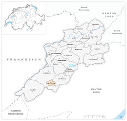 | ||
| Coordinates: 47°12′N 06°58′E / 47.200°N 6.967°ECoordinates: 47°12′N 06°58′E / 47.200°N 6.967°E | ||
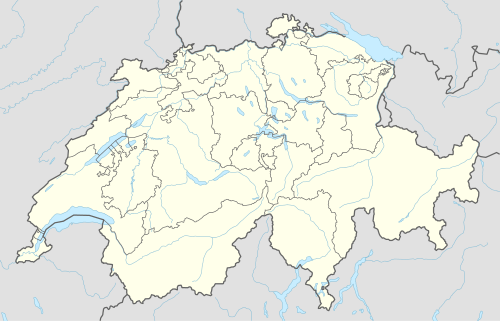
| Country | Switzerland | |
| Canton | Jura | |
| District | Franches-Montagnes | |
| Area | ||
| • Total | 2.57 km2 (0.99 sq mi) | |
| Elevation | 1,131 m (3,711 ft) | |
| Population | ||
| • Total | 40 | |
| • Density | 16/km2 (40/sq mi) | |
| Postal code | 2345 | |
| SFOS number | 6755 | |
| Surrounded by | Le Noirmont, Les Breuleux, Muriaux | |
| Website |
SFSO statistics | |

Le Peuchapatte is a municipality in the district of Franches-Montagnes in the canton of Jura in Switzerland. On 1 January 2009, the formerly independent municipality of Le Peuchapatte merged into the municipality of Muriaux.[1]
References
- ↑ Amtliches Gemeindeverzeichnis der Schweiz published by the Swiss Federal Statistical Office (German) accessed 14 January 2010
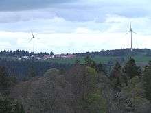
Wind farm Peuchapatte
This article is issued from Wikipedia - version of the 10/11/2016. The text is available under the Creative Commons Attribution/Share Alike but additional terms may apply for the media files.