Le Rochail
| Le Rochail | |
|---|---|
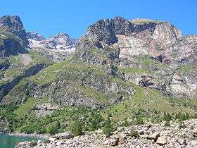 Le Rochail (left) as seen from Lake Lauvitel | |
| Highest point | |
| Elevation | 3,023 m (9,918 ft) |
| Coordinates | 44°58′48″N 6°01′52″E / 44.98000°N 6.03111°ECoordinates: 44°58′48″N 6°01′52″E / 44.98000°N 6.03111°E |
| Geography | |
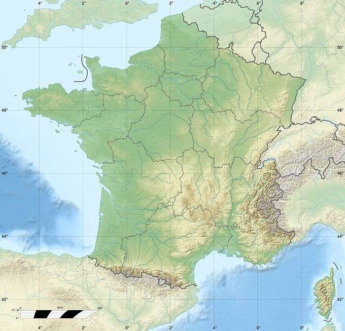 Le Rochail France | |
| Location | Isère, France |
| Parent range | Massif des Écrins |
Le Rochail is a mountain in the French Alps. Located in the Massif des Écrins, the mountain has a summit elevation of 3,023 metres (9,918 ft).
This article is issued from Wikipedia - version of the 12/14/2015. The text is available under the Creative Commons Attribution/Share Alike but additional terms may apply for the media files.