Manduessedum
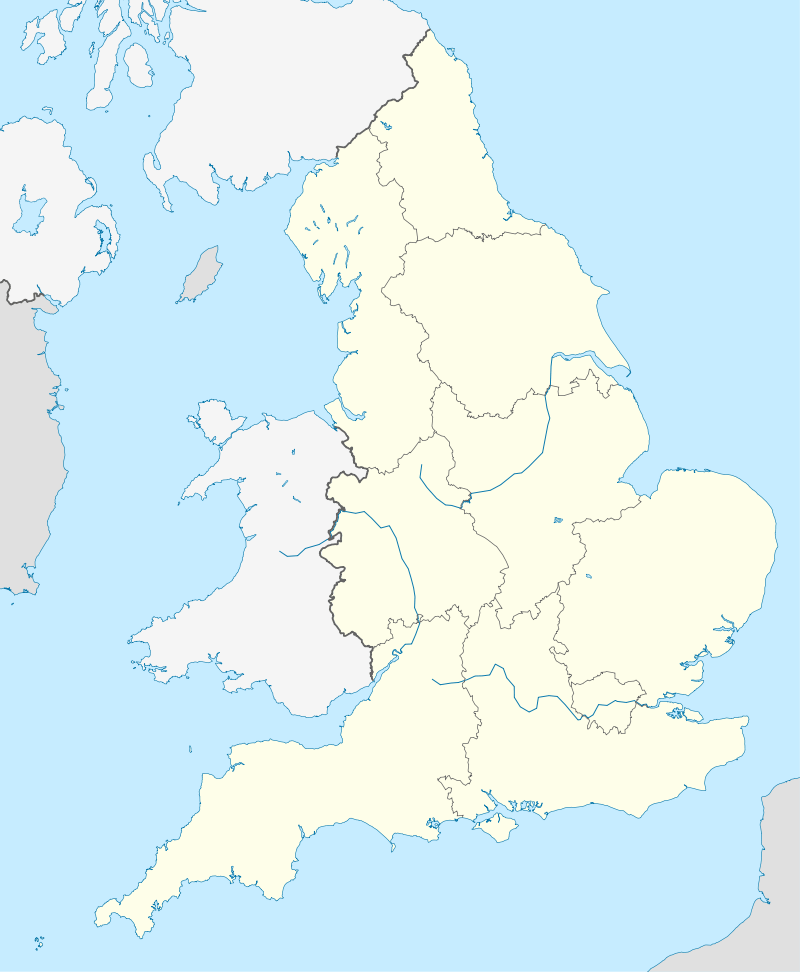
 Shown within England | |
| Location | Mancetter, Warwickshire, England |
|---|---|
| Region | Brittania |
| Coordinates | 52°34′01″N 01°31′12″W / 52.56694°N 1.52000°WCoordinates: 52°34′01″N 01°31′12″W / 52.56694°N 1.52000°W |
| Type | Fortification and settlement |
| History | |
| Founded | 50 |
| Periods | Roman Imperial |
 | ||||
| Part of a series on the | ||||
| Military of ancient Rome | ||||
|---|---|---|---|---|
| Structural history | ||||
|
||||
| Campaign history | ||||
| Technological history | ||||
|
||||
| Political history | ||||
|
|
||||
| Strategy and tactics | ||||
|
||||
|
| ||||
Manduessedum or Manduesedum was a Roman fort and later a civilian small town in the Roman Province of Britannia. Today it is known as Mancetter, located in the English county of Warwickshire.
The fort was founded in around c AD 50-AD 60 on the Watling Street Roman road. The final battle between the rebel queen of the Britons Boudica at the Battle of Watling Street may have taken place near Manduessedum. The British forces were defeated by the Roman general Suetonius Paullinus.
Manduessedum developed into a civilian settlement and was the centre of a pottery making industry. Up to 30 kilns dating from the Roman period have been found in the area.
References
- Slater, Terry, A History of Warwickshire (1981) ISBN 0-85033-416-0
This article is issued from Wikipedia - version of the 10/6/2016. The text is available under the Creative Commons Attribution/Share Alike but additional terms may apply for the media files.