Montargil
| Montargil | ||
|---|---|---|
| Parish | ||
| ||
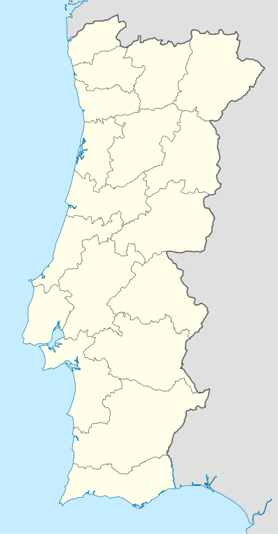  Montargil | ||
| Coordinates: 39°04′44″N 8°10′16″W / 39.079°N 8.171°WCoordinates: 39°04′44″N 8°10′16″W / 39.079°N 8.171°W | ||
| Country | Portugal | |
| Region | Alentejo | |
| Subregion | Alto Alentejo | |
| Intermunic. comm. | Alto Alentejo | |
| District | Portalegre | |
| Municipality | Ponte de Sor | |
| Area | ||
| • Total | 296.94 km2 (114.65 sq mi) | |
| Population (2011) | ||
| • Total | 2,316 | |
| • Density | 7.8/km2 (20/sq mi) | |
Montargil is a parish (freguesia) in the municipality of Ponte de Sor in Portugal. The population in 2011 was 2,316,[1] in an area of 296.94 km².[2]
References
- ↑ Instituto Nacional de Estatística (INE), Census 2011 results according to the 2013 administrative division of Portugal
- ↑ Direção-Geral do Território
This article is issued from Wikipedia - version of the 1/25/2016. The text is available under the Creative Commons Attribution/Share Alike but additional terms may apply for the media files.