Mount Slaughter
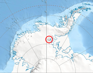
Mount Slaughter is an ice-free peak, rising to 3,600 m on a spur trending southwest from Opalchenie Peak on Vinson Plateau, Sentinel Range, in the Ellsworth Mountains, Antarctica. It is surmounting the head of Donnellan Glacier to the northwest and Gildea Glacier to the south. It was mapped by the United States Geological Survey (USGS) from surveys and U.S. Navy aerial photographs from 1957-60. It was named by the Advisory Committee on Antarctic Names (US-ACAN) in 1982, after John B. Slaughter, the director of the National Science Foundation from 1980-82.
Maps
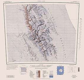
- Vinson Massif. Scale 1:250 000 topographic map. Reston, Virginia: US Geological Survey, 1988.
References
- Mount Slaughter. SCAR Composite Antarctic Gazetteer.
![]() This article incorporates public domain material from the United States Geological Survey document "Mount Slaughter" (content from the Geographic Names Information System).
This article incorporates public domain material from the United States Geological Survey document "Mount Slaughter" (content from the Geographic Names Information System).
Coordinates: 78°37′S 85°38′W / 78.617°S 85.633°W