Mozzagrogna
| Mozzagrogna | |
|---|---|
| Comune | |
| Comune di Mozzagrogna | |
|
View of Mozzagrogna | |
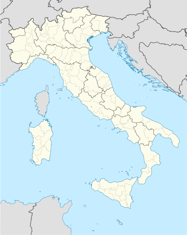  Mozzagrogna Location of Mozzagrogna in Italy | |
| Coordinates: 42°12′41″N 14°26′45″E / 42.21139°N 14.44583°ECoordinates: 42°12′41″N 14°26′45″E / 42.21139°N 14.44583°E | |
| Country | Italy |
| Region | Abruzzo |
| Province / Metropolitan city | Chieti (CH) |
| Frazioni | Castel di Sette, Castelli, Cavezza, Colle Ruzzo, Cornice, Cuna Re di Coppe, Fonte della Noce, Lucianetti, Ponticelli, Rosciavizza, Villa Romagnoli |
| Area | |
| • Total | 13.71 km2 (5.29 sq mi) |
| Elevation | 223 m (732 ft) |
| Population (2008)[1] | |
| • Total | 2,237 |
| • Density | 160/km2 (420/sq mi) |
| Demonym(s) | Mozzagrognesi |
| Time zone | CET (UTC+1) |
| • Summer (DST) | CEST (UTC+2) |
| Postal code | 66030 |
| Dialing code | 0872 |
| Patron saint | San Rocco |
| Saint day | 16 August |
| Website | Official website |
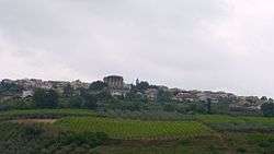
Mozzagrogna is a comune (municipality) and town in the Province of Chieti in the Abruzzo region of Italy.
References
 |
Wikimedia Commons has media related to Mozzagrogna. |
This article is issued from Wikipedia - version of the 5/31/2015. The text is available under the Creative Commons Attribution/Share Alike but additional terms may apply for the media files.