Nueil-sur-Layon
| Nueil-sur-Layon | |
|---|---|
 Nueil-sur-Layon | |
|
Location within Pays de la Loire region 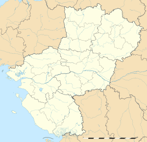 Nueil-sur-Layon | |
| Coordinates: 47°07′08″N 0°21′55″W / 47.1189°N 0.3653°WCoordinates: 47°07′08″N 0°21′55″W / 47.1189°N 0.3653°W | |
| Country | France |
| Region | Pays de la Loire |
| Department | Maine-et-Loire |
| Arrondissement | Saumur |
| Canton | Cholet-2 |
| Intercommunality | Communauté de communes du Vihiersois-Haut-Layon |
| Government | |
| • Mayor (2008–2014) | Jean-Marie Defois |
| Area1 | 61.23 km2 (23.64 sq mi) |
| Population (2006[1])2 | 1,288 |
| • Density | 21/km2 (54/sq mi) |
| Time zone | CET (UTC+1) |
| • Summer (DST) | CEST (UTC+2) |
| INSEE/Postal code | 49232 / 49560 |
| Elevation |
57–123 m (187–404 ft) (avg. 90 m or 300 ft) |
| Website | http://www.nueilsurlayon.fr |
|
1 French Land Register data, which excludes lakes, ponds, glaciers > 1 km² (0.386 sq mi or 247 acres) and river estuaries. 2 Population without double counting: residents of multiple communes (e.g., students and military personnel) only counted once. | |
Nueil-sur-Layon is a former commune in the Maine-et-Loire department in western France.[2] On 1 January 2016, it was merged into the new commune of Lys-Haut-Layon.[3]
Geography
The village lies on the left bank of the Layon, which flows northeastward through the southern part of the commune.
See also
References
| Wikimedia Commons has media related to Nueil-sur-Layon. |
This article is issued from Wikipedia - version of the 2/10/2016. The text is available under the Creative Commons Attribution/Share Alike but additional terms may apply for the media files.