Okroglice
| Okroglice | |
|---|---|
|
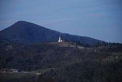
St. Lawrence's Church in Okroglice. Big Kozje Hill in the background. | |
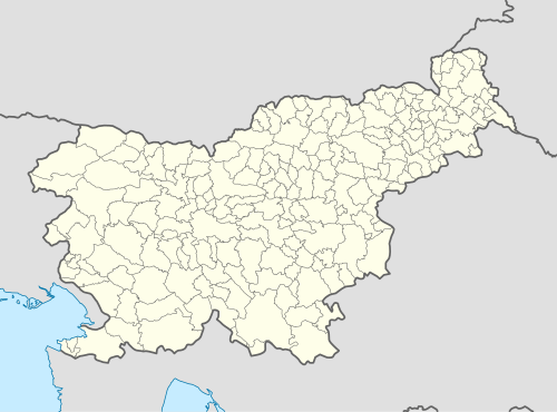  Okroglice Location in Slovenia | |
| Coordinates: 46°4′3.17″N 15°15′23.72″E / 46.0675472°N 15.2565889°ECoordinates: 46°4′3.17″N 15°15′23.72″E / 46.0675472°N 15.2565889°E | |
| Country |
 Slovenia Slovenia |
| Traditional region | Styria |
| Statistical region | Lower Sava |
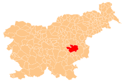
| Municipality | Sevnica |
| Area | |
| • Total | 3.66 km2 (1.41 sq mi) |
| Elevation | 417.2 m (1,368.8 ft) |
| Population (2002) | |
| • Total | 85 |
| [1] | |
Okroglice (pronounced [ɔˈkɾoːɡlitsɛ]) is a settlement in the hills northeast of Loka pri Zidanem Mostu in the Municipality of Sevnica in east-central Slovenia. The area is part of the historical region of Styria. The municipality is now included in the Lower Sava Statistical Region.[2]
The local church is dedicated to Saint Lawrence and belongs to the Parish of Razbor. It dates to the early 18th century.[3]
References
- ↑ Statistical Office of the Republic of Slovenia Archived November 18, 2008, at the Wayback Machine.
- ↑ Sevnica municipal site
- ↑ "EŠD 3311". Registry of Immovable Cultural Heritage (in Slovenian). Ministry of Culture of the Republic of Slovenia. Retrieved 14 October 2011.
External links
 Media related to Okroglice at Wikimedia Commons
- Okroglice at Geopedia
This article is issued from Wikipedia - version of the 11/13/2016. The text is available under the Creative Commons Attribution/Share Alike but additional terms may apply for the media files.