Ostrozub
| Ostrozub | |
|---|---|
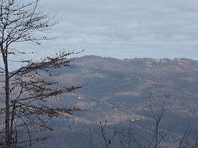 View to the Ostrozub village | |
| Highest point | |
| Elevation | 1,546 m (5,072 ft) [1] |
| Coordinates | 42°52′56″N 22°14′51″E / 42.88222°N 22.24750°ECoordinates: 42°52′56″N 22°14′51″E / 42.88222°N 22.24750°E |
| Geography | |
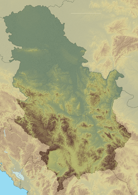  Ostrozub Location in Serbia | |
| Location | Southeastern Serbia |
| Parent range | Rhodopes |
Ostrozub (Serbian Cyrillic: Острозуб) is a mountain in southern Serbia, near the town of Crna Trava. It forms a continuous range with Čemernik mountain. Its highest peak Ostrozupska čuka has an elevation of 1,546 meters above sea level.
The eponymous village (42°52′00″N 022°14′00″E / 42.86667°N 22.23333°E[2]) on the mountain is depopulated. According to the 2002 census, it had a population of 1.
References
- ↑ Jovan Đokić. "Katalog planina Srbije". PSD Kopaonik Beograd.
- ↑ GEOnet Names Server (GNS)
External links
 |
Wikimedia Commons has media related to Ostrozub. |
This article is issued from Wikipedia - version of the 2/14/2016. The text is available under the Creative Commons Attribution/Share Alike but additional terms may apply for the media files.