Piz Posta Biala
| Piz Posta Biala | |
|---|---|
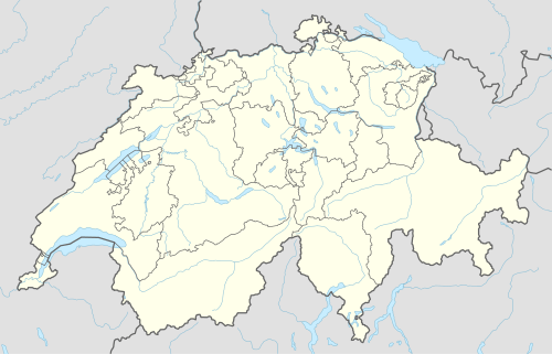 Piz Posta Biala Location in Switzerland | |
| Highest point | |
| Elevation | 3,074 m (10,085 ft) |
| Prominence | 260 m (850 ft) [1] |
| Parent peak | Tödi |
| Coordinates | 46°46′47″N 8°56′03″E / 46.77972°N 8.93417°ECoordinates: 46°46′47″N 8°56′03″E / 46.77972°N 8.93417°E |
| Geography | |
| Location | Graubünden, Switzerland |
| Parent range | Glarus Alps |
Piz Posta Biala (3,074 m) is a mountain of the Glarus Alps, located north of Sumvitg in the canton of Graubünden. It lies on the range between the Val Russein and the Val Punteglias, south of Piz Urlaun.
References
External links
This article is issued from Wikipedia - version of the 1/3/2016. The text is available under the Creative Commons Attribution/Share Alike but additional terms may apply for the media files.