Podkylava
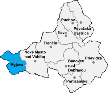
Location of Myjava District in the Trenčín Region
Podkylava (Hungarian: Szakadék) is a village and municipality in Myjava District in the Trenčín Region of north-western Slovakia.
History
In historical records, the village was first mentioned in 1709.
Geography
The municipality lies at an altitude of 245 metres and covers an area of 9.955 km². It has a population of about 250 people.
External links
Municipalities of Myjava District | ||
|---|---|---|
Coordinates: 48°41′N 17°40′E / 48.683°N 17.667°E
This article is issued from Wikipedia - version of the 2/26/2013. The text is available under the Creative Commons Attribution/Share Alike but additional terms may apply for the media files.