Podlehnik
| Podlehnik Občina Podlehnik | |
|---|---|
| Town and Municipality | |
|
Postcard of Podlehnik | |
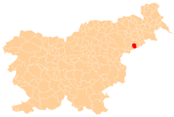 Location of the Municipality of Podlehnik in Slovenia | |
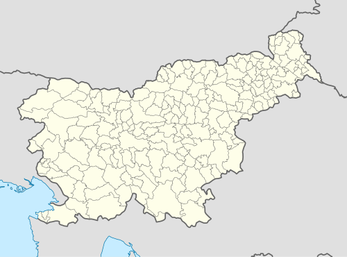  Podlehnik Location of the Town of Podlehnik in Slovenia | |
| Coordinates: 46°20′N 15°53′E / 46.333°N 15.883°ECoordinates: 46°20′N 15°53′E / 46.333°N 15.883°E | |
| Country |
 Slovenia Slovenia |
| Government | |
| • Mayor | Marko Maučič |
| Area | |
| • Total | 46.0 km2 (17.8 sq mi) |
| Population (2002)[1] | |
| • Total | 1,820 |
| • Density | 40/km2 (100/sq mi) |
| Time zone | CET (UTC+01) |
| • Summer (DST) | CEST (UTC+02) |
Podlehnik (pronounced [pɔˈdleːxnik]; German: Lichtenegg[2]) is a settlement and a municipality in the Haloze Hills in eastern Slovenia. The area traditionally belonged to the region of Styria. It is now included in the Drava Statistical Region.[3]
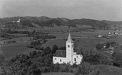
The settlement developed around 13th-century Lehnik Castle. The castle was destroyed during Ottoman raids in 1532 and very few traces of it remain (foundations of a tower and a defense ditch).[4] What was originally the castle chapel is now the local church, dedicated to the Virgin Mary, and was expanded in the 16th and 18th centuries.[5]
References
- ↑ Statistical Office of the Republic of Slovenia, census of 2002
- ↑ Leksikon občin kraljestev in dežel zastopanih v državnem zboru, vol. 4: Štajersko. 1904. Vienna: C. Kr. Dvorna in Državna Tiskarna, p. 238.
- ↑ Videm municipal site
- ↑ Slovenian Ministry of Culture register of national heritage reference number 537
- ↑ Slovenian Ministry of Culture register of national heritage reference number 3462
External links
| Settlements | Administrative centre: Podlehnik
| |
|---|---|---|
| Landmarks |
| |
This article is issued from Wikipedia - version of the 11/20/2016. The text is available under the Creative Commons Attribution/Share Alike but additional terms may apply for the media files.