Rabodanges
| Rabodanges | |
|---|---|
|
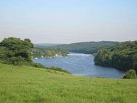
Rabodanges lake on the Orne River | |
  Rabodanges | |
|
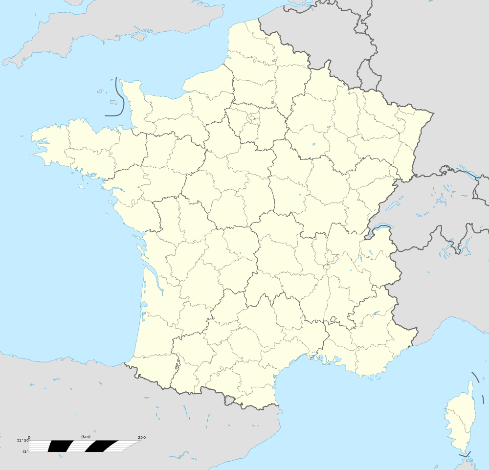
Location within Normandy region  Rabodanges | |
| Coordinates: 48°48′02″N 0°16′56″W / 48.8006°N 0.2822°WCoordinates: 48°48′02″N 0°16′56″W / 48.8006°N 0.2822°W | |
| Country | France |
| Region | Normandy |
| Department | Orne |
| Arrondissement | Argentan |
| Canton | Athis-de-l'Orne |
| Government | |
| • Mayor (2008–2014) | Yvette Ruban |
| Area1 | 9.32 km2 (3.60 sq mi) |
| Population (2012)2 | 133 |
| • Density | 14/km2 (37/sq mi) |
| Time zone | CET (UTC+1) |
| • Summer (DST) | CEST (UTC+2) |
| INSEE/Postal code | 61340 / 61210 |
| Elevation |
70–241 m (230–791 ft) (avg. 800 m or 2,600 ft) |
|
1 French Land Register data, which excludes lakes, ponds, glaciers > 1 km² (0.386 sq mi or 247 acres) and river estuaries. 2 Population without double counting: residents of multiple communes (e.g., students and military personnel) only counted once. | |
Rabodanges is a former commune in the Orne department of the Normandy region of north-western France. On 1 January 2016, it was merged into the new commune of Putanges-le-Lac.[1]
History
- The former name of the parish was "Culley-sur-Orne" (until 1650).
- The name "Rabodanges" is a corruption of "Rabodinghes" — a fief situated in Artois close to Saint-Omer — from where the manorial family which also owned the land of Culley-sur-Orne originated; the title of nobility was raised to "Marquis de Rabodanges" by King Louis XIV. The last representative of this family, established in Normandy since the 16th century, died without issue in 1792.
Administration
Since March 2008, the Mayor of Rabodanges has been Yvette Ruban, who is politically independent.
Demography
| Year | 1962 | 1968 | 1975 | 1982 | 1990 | 1999 | 2007 | 2012 |
|---|---|---|---|---|---|---|---|---|
| Population | 250 | 217 | 170 | 168 | 149 | 157 | 167 | 133 |
| From the year 1962 on: No double counting—residents of multiple communes (e.g. students and military personnel) are counted only once. | ||||||||
Places of interest
- Its chateau built in the classical style (open for visits)
- Rabodanges is also known for its lake, on which one can water-ski.
See also
References
- ↑ Arrêté préfectoral 26 November 2015 (French)
- ↑ Rabodanges sur le site de l'Insee
 |
Wikimedia Commons has media related to Rabodanges. |
This article is issued from Wikipedia - version of the 4/9/2016. The text is available under the Creative Commons Attribution/Share Alike but additional terms may apply for the media files.