Rambla del Poyo
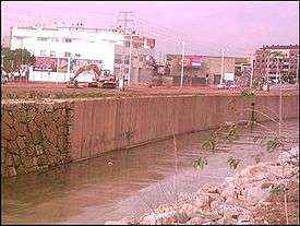
A Channeled section of the Rambla
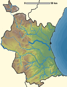
Location map of Rambla del Poyo
The Rambla del Poyo is a 41 km Rambla in the Province of Valencia, Spain.
It lies between the Turia and Júcar rivers, with its source in the mountains of the Parque Natural del Turia, and the mouth at the Albufera de Valencia by the Mediterranean Sea.
Coordinates: 39°22′43″N 0°21′23″W / 39.3786°N 0.3564°W
This article is issued from Wikipedia - version of the 3/17/2016. The text is available under the Creative Commons Attribution/Share Alike but additional terms may apply for the media files.