Ribta
| Ribta | |
|---|---|
| Town | |
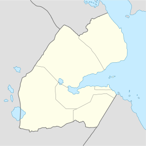  Ribta Location in Djibouti | |
| Coordinates: 12°27′24″N 42°50′46″E / 12.45667°N 42.84611°ECoordinates: 12°27′24″N 42°50′46″E / 12.45667°N 42.84611°E | |
| Country |
 Djibouti Djibouti |
| Region | Obock |
| Elevation | 293 m (961 ft) |
Ribta is a town in the northern Obock region of Djibouti. The area was marred by conflict in the 1990s.[1] A "Bonfire for Peace" was held in Ribta to destroy weapons used in conflict in the region.[2] Geologically a tectonic movement in the past has been referred to as the Ribta Formation.[3]
References
- ↑ Hélène, Jean (2004). Ecrits d'Afrique. Editions de La Martinière. p. 247.
- ↑ Press Digest. Anasir Publishers. 2001. p. 91.
- ↑ Bulletin de la Société géologique de France. La Société. 1991. p. 454.
External links
- Ribta at Geographic.org
This article is issued from Wikipedia - version of the 10/23/2016. The text is available under the Creative Commons Attribution/Share Alike but additional terms may apply for the media files.