Rosora
| Rosora | ||
|---|---|---|
| Comune | ||
| Comune di Rosora | ||
| ||
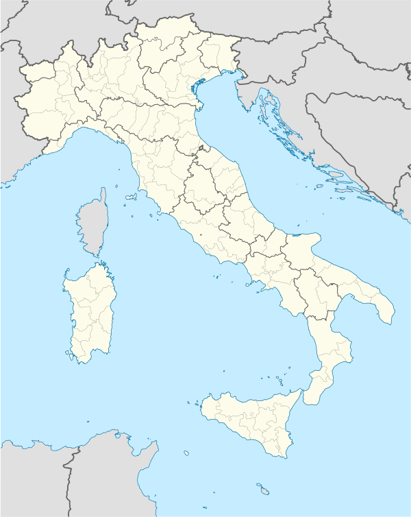  Rosora Location of Rosora in Italy | ||
| Coordinates: 43°29′N 13°4′E / 43.483°N 13.067°ECoordinates: 43°29′N 13°4′E / 43.483°N 13.067°E | ||
| Country | Italy | |
| Region | Marche | |
| Province / Metropolitan city | Ancona (AN) | |
| Frazioni | Angeli | |
| Government | ||
| • Mayor | Lamberto Marchetti | |
| Area | ||
| • Total | 9.4 km2 (3.6 sq mi) | |
| Elevation | 381 m (1,250 ft) | |
| Population (Dec. 2004)[1] | ||
| • Total | 1,816 | |
| • Density | 190/km2 (500/sq mi) | |
| Demonym(s) | Rosorani | |
| Time zone | CET (UTC+1) | |
| • Summer (DST) | CEST (UTC+2) | |
| Postal code | 60030 | |
| Dialing code | 0731 | |
| Patron saint | St. Michael Archangel | |
| Saint day | September 29 | |
| Website | Official website | |
Rosora is a comune (municipality) in the Province of Ancona in the Italian region Marche, located about 40 kilometres (25 mi) southwest of Ancona.
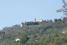
Panorama of Rosora.
Rosora borders the following municipalities: Arcevia, Castelplanio, Cupramontana, Maiolati Spontini, Mergo, Montecarotto, Poggio San Marcello.
History
The origins of Rosora are connected to the Lombards, who built a castrum (castle), probably over a pre-existing Roman structure. In the Middle Ages it was a commune, later annexed to that of Jesi. It was under the Papal States until 1860, when it became part of the Kingdom of Italy.
Main sights
- Castle, with a 15th-century tower, part of the walls and tunnels from the primitive building.
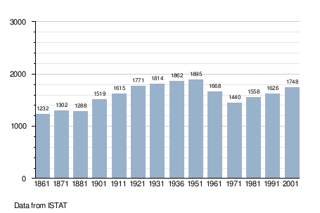
Demographic evolution
References
External links
This article is issued from Wikipedia - version of the 1/31/2015. The text is available under the Creative Commons Attribution/Share Alike but additional terms may apply for the media files.