Rosso di Ribia
| Rosso di Ribia | |
|---|---|
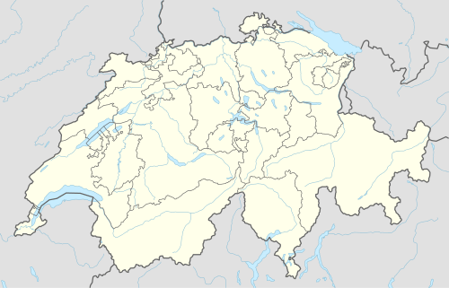 Rosso di Ribia Location in Switzerland | |
| Highest point | |
| Elevation | 2,547 m (8,356 ft) |
| Prominence | 569 m (1,867 ft) [1] |
| Listing | Alpine mountains 2500-2999 m |
| Coordinates | 46°15′39.9″N 8°31′47.9″E / 46.261083°N 8.529972°ECoordinates: 46°15′39.9″N 8°31′47.9″E / 46.261083°N 8.529972°E |
| Geography | |
| Location | Ticino, Switzerland |
| Parent range | Lepontine Alps |
The Rosso di Ribia is a mountain of the Lepontine Alps, located in the canton of Ticino, Switzerland. with a height of 2,547 metres above sea level, it is the culminating point on the range between the Valle di Campo and Valle di Vergeletto. The Rosso di Ribia lies five kilometres east of Pizzo di Porcarese, where the border with Italy runs.
References
External links
This article is issued from Wikipedia - version of the 6/2/2016. The text is available under the Creative Commons Attribution/Share Alike but additional terms may apply for the media files.
