Sankt Pantaleon
| Sankt Pantaleon | ||
|---|---|---|
.JPG) | ||
| ||
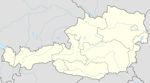 Sankt Pantaleon Location within Austria | ||
| Coordinates: 48°00′26″N 12°53′44″E / 48.00722°N 12.89556°ECoordinates: 48°00′26″N 12°53′44″E / 48.00722°N 12.89556°E | ||
| Country | Austria | |
| State | Upper Austria | |
| District | Braunau am Inn | |
| Government | ||
| • Mayor | Valentin David (ÖVP) | |
| Area | ||
| • Total | 18.32 km2 (7.07 sq mi) | |
| Elevation | 436 m (1,430 ft) | |
| Population (14 June 2016)[1] | ||
| • Total | 3,063 | |
| • Density | 170/km2 (430/sq mi) | |
| Time zone | CET (UTC+1) | |
| • Summer (DST) | CEST (UTC+2) | |
| Postal code | 5120 | |
| Area code | 06277 | |
| Vehicle registration | BR | |
| Website | www.stpantaleon.at | |

St. Pantaleon, also Sankt Pantaleon is a municipality in the district Braunau am Inn in Upper Austria, Austria. A monument was erected by the riverlet Moosach in memory of the slave workers engaged there in 1940/41 at the Weyer concentration camp.
Geography
Sankt Pantaleon lies in the Innviertel. About 24 percent of the municipality is forest and 64 percent farmland.
References

Monument in memory of the victims of the Weyer concentration camp
| Wikimedia Commons has media related to Sankt Pantaleon. |
This article is issued from Wikipedia - version of the 8/21/2015. The text is available under the Creative Commons Attribution/Share Alike but additional terms may apply for the media files.