Scopi
| Scopi | |
|---|---|
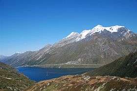 The Scopi seen from across Lai da Sontga Maria | |
| Highest point | |
| Elevation | 3,190 m (10,470 ft) |
| Prominence | 792 m (2,598 ft) [1] |
| Isolation | 8 kilometres (5.0 mi) |
| Parent peak | Piz Medel |
| Coordinates | 46°34′18″N 8°49′48″E / 46.57167°N 8.83000°ECoordinates: 46°34′18″N 8°49′48″E / 46.57167°N 8.83000°E |
| Geography | |
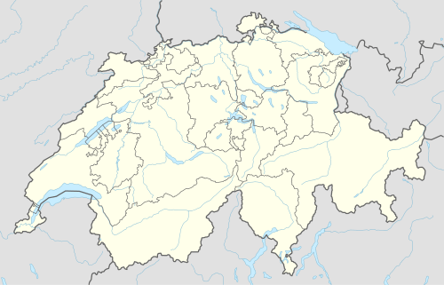  Scopi Location in Switzerland | |
| Location | Graubünden/Ticino, Switzerland |
| Parent range | Lepontine Alps |
The Scopi is a 3,190-metre-high mountain in the Lepontine Alps, overlooking Lukmanier Pass on the border between the cantons of Ticino and Graubünden.
A cable car (not accessible to public) connects the summit from the road of Lukmanier Pass below the dam, and on the top lies a radar (FLORAKO) and an air traffic control building, owned by the Swiss Army. There are, however, no climbing restrictions, and the summit can by reached via a marked trail from Lai da Sontga Maria near the pass.
References
External links
This article is issued from Wikipedia - version of the 5/9/2016. The text is available under the Creative Commons Attribution/Share Alike but additional terms may apply for the media files.