Sequence Hills

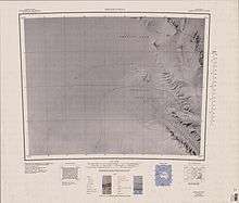
1:250,000 scale topographic map of Rennick and Priestley Névés with the Sequence Hills in the upper right corner.
Sequence Hills (73°3′S 161°15′E / 73.050°S 161.250°ECoordinates: 73°3′S 161°15′E / 73.050°S 161.250°E) is an escarpment-like hills on the west margin of the upper Rennick Glacier, about 7 nautical miles (13 km) northwest of Caudal Hills, Victoria Land. They provided the only good geological sequence in the area. Mapped and named by the northern party of New Zealand Geological Survey Antarctic Expedition (NZGSAE), 1962-63.
![]() This article incorporates public domain material from the United States Geological Survey document "Sequence Hills" (content from the Geographic Names Information System).
This article incorporates public domain material from the United States Geological Survey document "Sequence Hills" (content from the Geographic Names Information System).
This article is issued from Wikipedia - version of the 11/21/2015. The text is available under the Creative Commons Attribution/Share Alike but additional terms may apply for the media files.