Takli Island
 Takli Island | |
| Geography | |
|---|---|
| Location | Amalik Bay, Katmai National Park and Preserve |
| Coordinates | 58°03′30″N 154°29′46″W / 58.05833°N 154.49611°WCoordinates: 58°03′30″N 154°29′46″W / 58.05833°N 154.49611°W |
| Administration | |
| State | Alaska |
| Borough | Kodiak Island Borough |
| Additional information | |
|
Takli Island Archeological District | |
| Nearest city | Kanatak, Alaska |
| Area | 2,500 acres (1,000 ha) |
| Part of | Amalik Bay Archeological District (#05000460) |
| NRHP Reference # | 78000275[1] |
| Significant dates | |
| Added to NRHP | May 23, 1978 |
| Designated NHLDCP | April 5, 2005 |
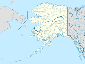
Takli Island is an island off the southern coast of the Alaska Peninsula in the Shelikov Strait of southwestern Alaska. It is located at the mouth of Amalik Bay, off the mainland portion of Kodiak Island Borough, in Katmai National Park and Preserve. The island is part of the Amalik Bay Archeological District, a National Historic Landmark District, and its archaeological sites are separately listed on the National Register of Historic Places. The area was first archaeologically investigated in the 1960s, when the prehistory of the area was little known, and the island's sites are type sites for a series of archaeological cultures.[2]
See also
- List of islands of Alaska
- National Register of Historic Places listings in Kodiak Island Borough, Alaska
References
- ↑ National Park Service (2010-07-09). "National Register Information System". National Register of Historic Places. National Park Service.
- ↑ Dumond, Donald (1971). "A Summary of the Archaeology of the Katmai Region of Southwestern Alaska" (PDF). University of Oregon. Retrieved 2015-01-29.
This article is issued from Wikipedia - version of the 11/24/2016. The text is available under the Creative Commons Attribution/Share Alike but additional terms may apply for the media files.