Tamsi
| Tamsi తాంసీ | |
|---|---|
| Village and Mandal | |
  Tamsi 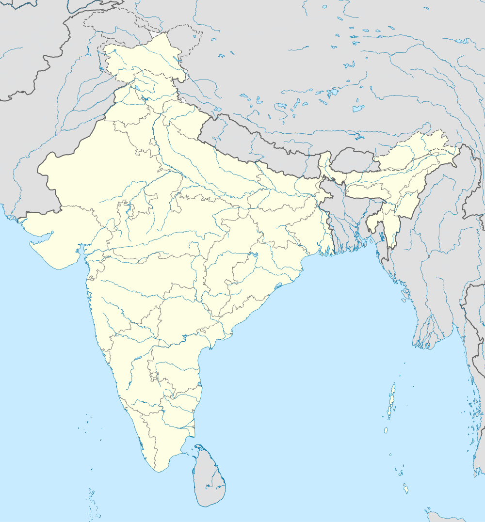 Tamsi Location in Telangana, India | |
| Coordinates: 19°41′00″N 78°25′00″E / 19.6833°N 78.4167°ECoordinates: 19°41′00″N 78°25′00″E / 19.6833°N 78.4167°E | |
| Country |
 India India |
| State | Telangana |
| District | Adilabad |
| Elevation | 293 m (961 ft) |
| Languages | |
| • Official | Telugu |
| Time zone | IST (UTC+5:30) |
| PIN | 504312 |
| Vehicle registration | TS-01 |
| Website |
telangana |
Tamsi is a village and a Mandal in Adilabad district in the state of Telangana in south India.[1] [2]
Geography
Tamsi is located at 19°41′00″N 78°25′00″E / 19.6833°N 78.4167°E.[3] It has an average elevation of 293 meters (964 feet).
Demographics
According to Indian census, 2001, the demographic details of Tamsi mandal is as follows:[4]
- Total Population: 36,164 in 7,556 Households.
- Male Population: 17,944 and Female Population: 18,220
- Children Under 6-years of age: 5,506 (Boys -2,772 and Girls - 2,734)
- Total Literates: 15,000
Tamsi village has a population of 2,925 (B) and 899 (K) in 2001.
Villages
The villages in Tamsi mandal includes: Andarbandh, Antargaon, Arli, Bandal Nagpur, Belsari Rampur, Bheempoor, Dhanora, Ghotkuri, Girigaon, Gomutri, Gona, Hasnapur, Jamidi, Karanji, Khapperla, Nippani, Pippalkoti, Ponnari, Tamsi, Waddadi, Wadgaon and Wadoor.
References
- ↑ "Mandals in Adilabad district". Panchayat Informatics Division. Archived from the original on 2007-03-27. Retrieved 2007-02-28.
- ↑ "Tamsi Adilabad Pincode". citypincode.in. Retrieved 2014-04-24.
- ↑ Falling Rain Genomics.Tamsi
- ↑ Tamsi mandal at Our Village India.org
This article is issued from Wikipedia - version of the 10/4/2016. The text is available under the Creative Commons Attribution/Share Alike but additional terms may apply for the media files.